List Entry Summary
This monument is scheduled under the Ancient Monuments and Archaeological Areas Act 1979 as amended as it appears to the Secretary of State to be of national importance. This entry is a copy, the original is held by the Department for Culture, Media and Sport.
Name: Roman quarry inscription on Queen's Crags, 680m south east of East Hotbank
List Entry Number: 1017958
Location
The monument may lie within the boundary of more than one authority.
County:
District: Northumberland
District Type: Unitary Authority
Parish: Bardon Mill
National Park: NORTHUMBERLAND
Grade: Not applicable to this List entry.
Date first scheduled: 02-May-1972
Date of most recent amendment: 27-Apr-1998
Legacy System Information
The contents of this record have been generated from a legacy data system.
Legacy System: RSM
UID: 28575
Asset Groupings
This List entry does not comprise part of an Asset Grouping. Asset Groupings are not part of the official record but are added later for information.
List Entry Description
Summary of Monument
Legacy Record - This information may be included in the List Entry Details.
Reasons for Designation
The Roman conquest of Britain brought a signficant increase in the requirement
for building stone and generated the first major quarrying industry to be
developed in England. Quarries were opened and exploited from soon after the
conquest to the end of the Roman period in the fifth century. The majority
were used for a very limited period of time and met the requirements for
building stone within their immediate areas. A few, including the Purbeck
marble quarries, produced very high quality building stone which was
transported for use over a wide area. Many were under military control to
produce stone for forts or defence works such as Hadrian's Wall. Others were
under the control of town authorities. In some instances they may also have
been privately owned. Most provided building stone, but a few were used for
more specific purposes to produce quern or mill stones.
Quarrying techniques were relatively simple and involved the use of wedges,
separation trenches and percussion to split lumps of rock from the parent
material. Irregular blocks of stone were usually dressed to shape before being
transported from the quarries. Tracks and pathways enabling the removal of
stone from the quarry would also have existed. Visible remains include working
faces, waste heaps and dressing floors.
Today, however, very few Roman quarries can be positively identified because
reuse in later times has removed much evidence for Roman activity, whilst the
continued use of similar quarrying techniques over long periods often makes it
impossible to determine the exact date of surviving remains.
Most of the quarries which are considered to be Roman are dated on the basis
of surviving inscriptions or carvings, usually on the worked face. Fewer than
50 quarries have been confirmed to retain evidence for Roman activity. In view
of their rarity and the insights they provide into Roman technology and
building works, all surviving examples will be identified to be nationally
important.
The Roman quarry inscription on Queen's Crag survives well and is a good
example of its type. Its association with Hadrian's Wall, for which the stone
is thought to have been quarried, enhances the importance of the monument.
History
Legacy Record - This information may be included in the List Entry Details.
Details
The monument includes a Roman quarry inscription, protected by an overhang, on
the north face of a sandstone ridge known as Queen's Crags. The Roman fort at
Housesteads lies some 1600m to the south east. The inscription, which has been
carved into a smooth rock face 1.4m above the ground, marks the site of a
Roman quarry. The inscription consists of four lines containing the names of
three leaders of a quarrying party, two Centurians (Saturninus and Rufinus)
and an Optio (Henoenus). It reads as follows:
>SATVRNINVS
>RUFI[NVS
HIINOIINVS
OPTIO
The carving of the first line has been carefully executed and on average the
letters are 5cm high. The following three lines are more crudely carved and
are thought to be the work of a second person.
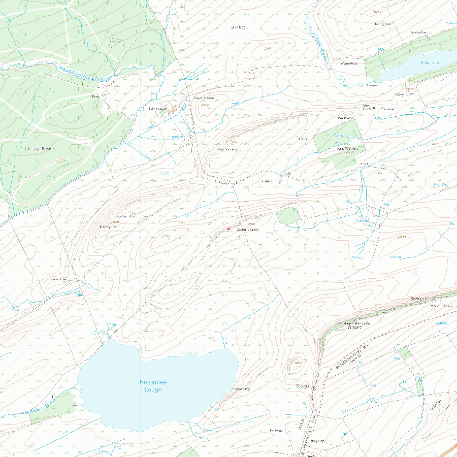
MAP EXTRACT
The site of the monument is shown on the attached map extract.
Selected Sources
Books and journals'Journal of Roman Studies' in Roman Britain in 1960, , Vol. 51, (1961), 194
OtherNY77SE 06,
Map
National Grid Reference: NY 79455 70572
The below map is for quick reference purposes only and may not be to scale. For a copy of the full scale map, please see the attached PDF - 1017958.pdf - Please be aware that it may take a few minutes for the download to complete.
© Crown Copyright and database right 2018. All rights reserved. Ordnance Survey Licence number 100024900.
© British Crown and SeaZone Solutions Limited 2018. All rights reserved. Licence number 102006.006.
This copy shows the entry on 04-Jul-2025 at 02:46:30.


