List Entry Summary
This building is listed under the Planning (Listed Buildings and Conservation Areas) Act 1990 as amended for its special architectural or historic interest.
Name: Tower Farmhouse
List Entry Number: 1127026
Location
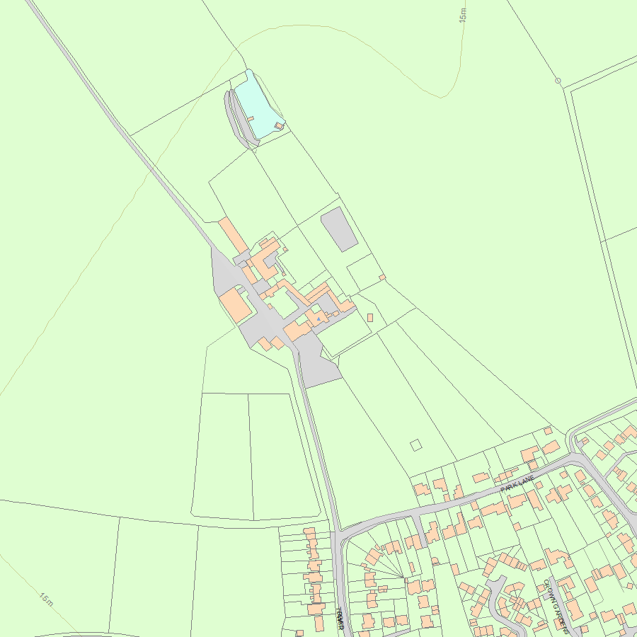
Tower Farmhouse, Tower Road
The building may lie within the boundary of more than one authority.
County: Cambridgeshire
District: East Cambridgeshire
District Type: District Authority
Parish: Downham
National Park: Not applicable to this List entry.
Grade: II
Date first listed: 05-Feb-1952
Date of most recent amendment: Not applicable to this List entry.
Legacy System Information
The contents of this record have been generated from a legacy data system.
Legacy System: LBS
UID: 49474
Asset Groupings
This List entry does not comprise part of an Asset Grouping. Asset Groupings are not part of the official record but are added later for information.
List Entry Description
Summary of Building
Legacy Record - This information may be included in the List Entry Details.
Reasons for Designation
Legacy Record - This information may be included in the List Entry Details.
History
Legacy Record - This information may be included in the List Entry Details.
Details
TL 58 SW
4/21
DOWNHAM
TOWER ROAD (North Side)
Tower Farmhouse
5.2.52
GV
II
Farmhouse. Late C15 walls of Bishop of Ely's Palace to west and north included in fabric of C19 building. Gault brick, C15 red brick; plain tile roof with end stacks and ridge stack to right of centre. Two storeys, three 'bays'. Three ground floor recessed sixteen-paned hung sash windows in cambered brick arches, main entrance through closed, gabled porch with four-panelled door; three first floor twelve-paned hung sash windows.
Listing NGR: TL5191984195
Selected Sources
Books and journalsBishopric of Ely Lease Book, (1746), 318-321
Pevsner, N, The Buildings of England: Cambridgeshire, (1954), 330
Salzman, L F, The Victoria History of the County of Cambridgeshire and the Isle of Ely, (1982), 92
Map
National Grid Reference: TL5191984195
The below map is for quick reference purposes only and may not be to scale. For a copy of the full scale map, please see the attached PDF - 1127026.pdf - Please be aware that it may take a few minutes for the download to complete.
© Crown Copyright and database right 2018. All rights reserved. Ordnance Survey Licence number 100024900.
© British Crown and SeaZone Solutions Limited 2018. All rights reserved. Licence number 102006.006.
This copy shows the entry on 29-Apr-2024 at 01:23:54.


