List Entry Summary
This building is listed under the Planning (Listed Buildings and Conservation Areas) Act 1990 as amended for its special architectural or historic interest.
Name: BARN TO NORTH WEST OF ANGLESEY ABBEY
List Entry Number: 1164614
Location
BARN TO NORTH WEST OF ANGLESEY ABBEY, QUY ROAD
The building may lie within the boundary of more than one authority.
County: Cambridgeshire
District: East Cambridgeshire
District Type: District Authority
Parish: Lode
National Park: Not applicable to this List entry.
Grade: II
Date first listed: 15-Jun-1984
Date of most recent amendment: Not applicable to this List entry.
Legacy System Information
The contents of this record have been generated from a legacy data system.
Legacy System: LBS
UID: 49312
Asset Groupings
This List entry does not comprise part of an Asset Grouping. Asset Groupings are not part of the official record but are added later for information.
List Entry Description
Summary of Building
Legacy Record - This information may be included in the List Entry Details.
Reasons for Designation
Legacy Record - This information may be included in the List Entry Details.
History
Legacy Record - This information may be included in the List Entry Details.
Details
TL 5262 LODE QUY ROAD
(North Side)
9/54 Barn to North
West of
Anglesey Abbey
GV II
Barn early C16. Timber-framed with the East wall rebuilt in
clunch rubble probably in C19. The number of bays is uncertain
as the North end has converted to domestic use, but it is
at least nine. The roof is intact and is of crown-post
construction with plain, unmoulded heads to the posts and curved
bracing to the collar purlin.
R.C.H.M. (North East Cambs.), p74, mon (3)
Listing NGR: TL5294662279
Selected Sources
OtherAn Inventory of the Historical Monuments in Cambridgeshire North East, (1972)
Register of Parks and Gardens of Special Historic Interest in England, Part 5 Cambridgeshire,
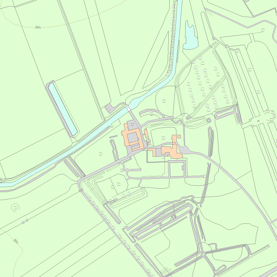
Map
National Grid Reference: TL 52946 62279
The below map is for quick reference purposes only and may not be to scale. For a copy of the full scale map, please see the attached PDF - 1164614.pdf - Please be aware that it may take a few minutes for the download to complete.
© Crown Copyright and database right 2018. All rights reserved. Ordnance Survey Licence number 100024900.
© British Crown and SeaZone Solutions Limited 2018. All rights reserved. Licence number 102006.006.
This copy shows the entry on 29-Apr-2024 at 06:02:03.


