List Entry Summary
This building is listed under the Planning (Listed Buildings and Conservation Areas) Act 1990 as amended for its special architectural or historic interest.
Name: ALCONBURY HOUSE
List Entry Number: 1330482
Location
ALCONBURY HOUSE, RUSTS LANE
The building may lie within the boundary of more than one authority.
County: Cambridgeshire
District: Huntingdonshire
District Type: District Authority
Parish: Alconbury
National Park: Not applicable to this List entry.
Grade: II
Date first listed: 21-Oct-1983
Date of most recent amendment: Not applicable to this List entry.
Legacy System Information
The contents of this record have been generated from a legacy data system.
Legacy System: LBS
UID: 54506
Asset Groupings
This List entry does not comprise part of an Asset Grouping. Asset Groupings are not part of the official record but are added later for information.
List Entry Description
Summary of Building
Legacy Record - This information may be included in the List Entry Details.
Reasons for Designation
Legacy Record - This information may be included in the List Entry Details.
History
Legacy Record - This information may be included in the List Entry Details.
Details
TL 17 NE ALCONBURY RUSTS LANE
(South-East Side)
4/7 Alconbury House
-
II
Small country house probably built for Sir Peter Burnell, bart,
later Lord Gwydir (d. 1820) in late C18. Of two ranges forming a
T-plan enlargedprobably 1840-60 by architect, Hodson and Vesey, by addition of
attic storey and two storey canted bay to west front. Red brick with
additions of gault brick with stone dressings at main cornice and band
between storeys. Parapetted roof with tall gault brick stacks. North
front of two storeys. Range of three recessed hung sashes. Doric
portico, segmental in plan, to doorway in round headed arch. Three
panelled door flanked by narrow lights. Garden front of two principal storeys
with basement and attics. Each storey with two hung sashes with glazing
bars flanking segmental bay with two similar windows.
CRO, Huntingdon.
Norris Museum, St. Ives. Inskip Ladds Records.
Listing NGR: TL1944975992
Selected Sources
Legacy Record - This information may be included in the List Entry Details
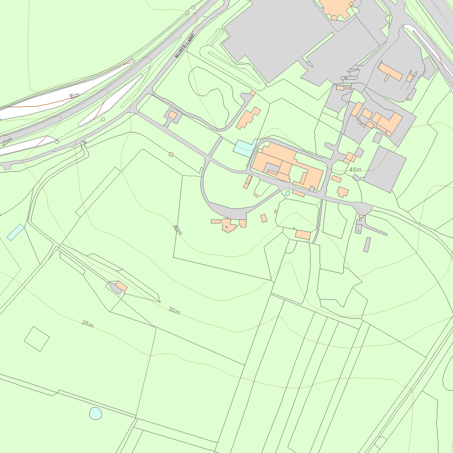
Map
National Grid Reference: TL 19449 75992
The below map is for quick reference purposes only and may not be to scale. For a copy of the full scale map, please see the attached PDF - 1330482.pdf - Please be aware that it may take a few minutes for the download to complete.
© Crown Copyright and database right 2018. All rights reserved. Ordnance Survey Licence number 100024900.
© British Crown and SeaZone Solutions Limited 2018. All rights reserved. Licence number 102006.006.
This copy shows the entry on 18-May-2024 at 03:08:57.


