List Entry Summary
This building is listed under the Planning (Listed Buildings and Conservation Areas) Act 1990 as amended for its special architectural or historic interest.
Name: CHESTERTON TOWER
List Entry Number: 1331829
Location
CHESTERTON TOWER, CHAPEL STREET
The building may lie within the boundary of more than one authority.
County: Cambridgeshire
District: Cambridge
District Type: District Authority
Parish: Non Civil Parish
National Park: Not applicable to this List entry.
Grade: I
Date first listed: 26-Apr-1950
Date of most recent amendment: 02-Nov-1972
Legacy System Information
The contents of this record have been generated from a legacy data system.
Legacy System: LBS
UID: 47395
Asset Groupings
This List entry does not comprise part of an Asset Grouping. Asset Groupings are not part of the official record but are added later for information.
List Entry Description
Summary of Building
Legacy Record - This information may be included in the List Entry Details.
Reasons for Designation
Legacy Record - This information may be included in the List Entry Details.
History
Legacy Record - This information may be included in the List Entry Details.
Details
CHAPEL STREET, CHESTERTON
1.
942 (West Side)
Chesterton Tower.
[(Formerly listed as
"The Abbey" (Building in
Vicarage Garden)].
TL 4659 NW 1/218 26.4.50
I
2.
Mid C14 rectangular building; 2 storeys; stone, some brick; hip gabled
tile roof; with lower storey vaulted in 2 bays with hollow chamfered ribs
and carved bosses; some original windows; old fireplace etc; severe restoration
in 1949 when the old dressed clunch was replaced with Ketton stone. The
roof is modern but with some re-used timbers. The building belonged probably
to the procurator of the abbot of Vercelli and is a rare example of the
home of a foreign appropriator. (RCHM 305).
Listing NGR: TL4629459804
Selected Sources
OtherInventory of the Historical Monuments in the City of Cambridge, (1959)
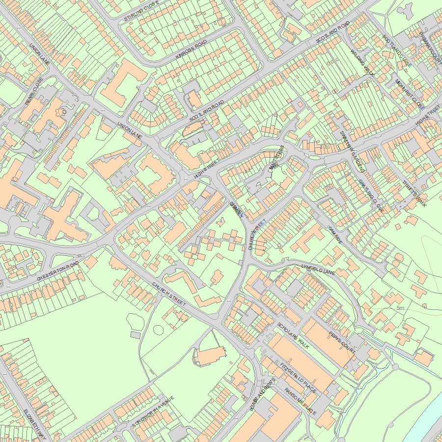
Map
National Grid Reference: TL 46294 59804
The below map is for quick reference purposes only and may not be to scale. For a copy of the full scale map, please see the attached PDF - 1331829.pdf - Please be aware that it may take a few minutes for the download to complete.
© Crown Copyright and database right 2018. All rights reserved. Ordnance Survey Licence number 100024900.
© British Crown and SeaZone Solutions Limited 2018. All rights reserved. Licence number 102006.006.
This copy shows the entry on 03-May-2024 at 10:13:25.


