List Entry Summary
This building is listed under the Planning (Listed Buildings and Conservation Areas) Act 1990 as amended for its special architectural or historic interest.
Name: STABLES AT HOLEYN HALL
List Entry Number: 1370460
Location
STABLES AT HOLEYN HALL, HOLEYN HALL ROAD
The building may lie within the boundary of more than one authority.
County:
District: Northumberland
District Type: Unitary Authority
Parish: Wylam
National Park: Not applicable to this List entry.
Grade: II
Date first listed: 07-Mar-1985
Date of most recent amendment: Not applicable to this List entry.
Legacy System Information
The contents of this record have been generated from a legacy data system.
Legacy System: LBS
UID: 239524
Asset Groupings
This List entry does not comprise part of an Asset Grouping. Asset Groupings are not part of the official record but are added later for information.
List Entry Description
Summary of Building
Legacy Record - This information may be included in the List Entry Details.
Reasons for Designation
Legacy Record - This information may be included in the List Entry Details.
History
Legacy Record - This information may be included in the List Entry Details.
Details
NZ 16 NW WYLAM HOLEYN HALL ROAD
17/151 Stables at Holeyn Hall
GV II
Former stables, workshops and groom's cottage, now farmbuildings. Mid C19.
Right block ashlar. Centre and left block coursed stone with ashlar dressings.
Welsh slate roofs. 2-storey centre with flanking single-storey ranges. Centre
is 2 bays. Plank door in alternating surround with flattened Tudor-arched
lintel. Similar surrounds to windows. Cross-gabled roof with clock in moulded
surround.
Right range has projecting alternating quoins and similar surrounds to door and
windows. Also an elliptical-arched carriage entry with plank and double doors.
Ashlar corniced external stack on rear wall.
Left range is 11 bays with similar triangular-headed openings. Groom's cottage
on left. Gabled roof with stone ridge stack.
Listing NGR: NZ1074166120
Selected Sources
Legacy Record - This information may be included in the List Entry Details
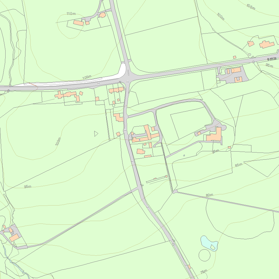
Map
National Grid Reference: NZ 10741 66120
The below map is for quick reference purposes only and may not be to scale. For a copy of the full scale map, please see the attached PDF - 1370460.pdf - Please be aware that it may take a few minutes for the download to complete.
© Crown Copyright and database right 2018. All rights reserved. Ordnance Survey Licence number 100024900.
© British Crown and SeaZone Solutions Limited 2018. All rights reserved. Licence number 102006.006.
This copy shows the entry on 26-Apr-2024 at 01:08:58.


