List Entry Summary
This monument is scheduled under the Ancient Monuments and Archaeological Areas Act 1979 as amended as it appears to the Secretary of State to be of national importance. This entry is a copy, the original is held by the Department for Culture, Media and Sport.
Name: Deserted medieval settlement and associated cultivation terraces on Perching Hill
List Entry Number: 1015125
Location
The monument may lie within the boundary of more than one authority.
County: West Sussex
District: Mid Sussex
District Type: District Authority
Parish: Fulking
National Park: SOUTH DOWNS
Grade: Not applicable to this List entry.
Date first scheduled: 21-Aug-1968
Date of most recent amendment: 08-Jul-1997
Legacy System Information
The contents of this record have been generated from a legacy data system.
Legacy System: RSM
UID: 29232
Asset Groupings
This List entry does not comprise part of an Asset Grouping. Asset Groupings are not part of the official record but are added later for information.
List Entry Description
Summary of Monument
Legacy Record - This information may be included in the List Entry Details.
Reasons for Designation
Medieval rural settlements in England were marked by great regional diversity
in form, size and type, and the protection of their archaeological remains
needs to take these differences into account. To do this, England has been
divided into three broad Provinces on the basis of each area's distinctive
mixture of nucleated and dispersed settlements. These can be further divided
into sub-Provinces and local regions, possessing characteristics which have
gradually evolved during the past 1500 years or more.
This monument lies in the East Wessex sub-Province of the south-eastern
Province, an area in which settlement characteristics are shaped by strong
contrasts in terrain. This is seen in the division between the chalk Downs,
where chains of nucleated settlements concentrate in the valleys, and the
Hampshire Basin, still dominated by the woodlands and open commons of the
ancient New Forest, where nucleated sites are largely absent. Along the
coastal strip extending into Sussex are more nucleations, while in Hampshire
some coastal areas and inland valleys are marked by high densities of
dispersed settlement, much of it post-medieval.
The Hampshire Downs and Salisbury Plain local region is a distinctive, large
area with extremely low densities of dispersed settlement on the chalk, and
dense strings of villages, hamlets and farmsteads concentrated in the valleys.
Fieldwork has shown that these, together with associated earthworks, date from
many periods, reflecting the long and complex history of settlement in these
`preferred zones' within an area generally deficient in surface water.
The medieval settlement and its associated cultivation terraces on Perching
Hill survive particularly well, being affected by little subsequent
disturbance, and will contain archaeological remains and environmental
evidence relating to the monument and its place within the downland economy.
History
Legacy Record - This information may be included in the List Entry Details.
Details
The monument includes a deserted medieval settlement and an adjacent area
containing associated cultivation terraces, situated on a north west facing
slope of a chalk hill forming part of the Sussex Downs. The presence in the
coombe of an underground water course, indicated by a well c.60m to the west
of the monument, explains the establishment of the settlement in an area of
downland otherwise rarely inhabited during the medieval period.
The hamlet is bounded on its southern and north eastern sides by a mortared,
flint rubble wall up to c.0.5m high. Three stepped, levelled terraces c.90m
long and up to c.18m wide, edged by banks up to c.3m high, are located near
the coombe bottom towards the centre of the monument and contain traces of at
least eight buildings, representing the main dwelling houses and outbuildings
of the settlement. Green-glazed pottery sherds dating to the medieval period
were found here during the 1950s. A terraced trackway running to the west
across the hillslope connects the farmhouses with two adjoining, east-west
aligned, roughly rectangular paddocks situated upslope in the south western
corner of the monument. These are defined to the north and east by low banks.
The western enclosure is smaller, measuring c.32m by c.20m, whilst the larger,
eastern paddock is c.20m wide and up to c.145m long. To the north east of the
farmhouses are three parallel strip lynchets. These are long, narrow
cultivation terraces formed by continual ploughing along the contours of the
hillslope; each is c.250m in length and c.20m wide.
The modern fences which cross the monument are excluded form the scheduling,
although the ground beneath them is included.
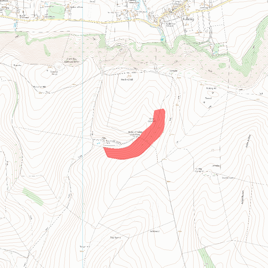
MAP EXTRACT
The site of the monument is shown on the attached map extract.
Selected Sources
Legacy Record - This information may be included in the List Entry Details
Map
National Grid Reference: TQ 24458 10235
The below map is for quick reference purposes only and may not be to scale. For a copy of the full scale map, please see the attached PDF - 1015125.pdf - Please be aware that it may take a few minutes for the download to complete.
© Crown Copyright and database right 2018. All rights reserved. Ordnance Survey Licence number 100024900.
© British Crown and SeaZone Solutions Limited 2018. All rights reserved. Licence number 102006.006.
This copy shows the entry on 25-Apr-2024 at 02:07:42.


