List Entry Summary
This building is listed under the Planning (Listed Buildings and Conservation Areas) Act 1990 as amended for its special architectural or historic interest.
Name: THE TOWERS CONVENT
List Entry Number: 1027217
Location
THE TOWERS CONVENT, HENFIELD ROAD
The building may lie within the boundary of more than one authority.
County: West Sussex
District: Horsham
District Type: District Authority
Parish: Upper Beeding
National Park: Not applicable to this List entry.
Grade: II
Date first listed: 09-May-1980
Date of most recent amendment: Not applicable to this List entry.
Legacy System Information
The contents of this record have been generated from a legacy data system.
Legacy System: LBS
UID: 298881
Asset Groupings
This List entry does not comprise part of an Asset Grouping. Asset Groupings are not part of the official record but are added later for information.
List Entry Description
Summary of Building
Legacy Record - This information may be included in the List Entry Details.
Reasons for Designation
Legacy Record - This information may be included in the List Entry Details.
History
Legacy Record - This information may be included in the List Entry Details.
Details
1.
5404
TQ 1910
25/3
UPPER BEEDING
HENFIELD ROAD
The Towers Convent
II
2.
Late C19 building in the style of a French chateau. Two main fronts forming
an L with circular turrets with conical roofs flanking each. Two storeys and
attic. Faced with cement, scored to imitate stone. Hipped slate roof. The
north-west front has five pointed sash windows and three dormers. Castellated
parapet with machicolation. Pointed doorway leading into recessed porch.
Slit windows in the turrets. The south-west front has five ordinary sash windows
and four dormers. Large plain wing to east and single-storeyed chapel wing
to north.
Listing NGR: TQ1981010284
Selected Sources
Legacy Record - This information may be included in the List Entry Details
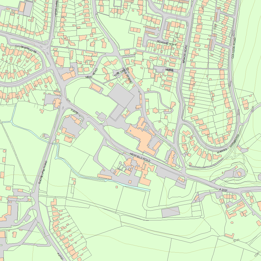
Map
National Grid Reference: TQ1981010284
The below map is for quick reference purposes only and may not be to scale. For a copy of the full scale map, please see the attached PDF - 1027217.pdf - Please be aware that it may take a few minutes for the download to complete.
© Crown Copyright and database right 2018. All rights reserved. Ordnance Survey Licence number 100024900.
© British Crown and SeaZone Solutions Limited 2018. All rights reserved. Licence number 102006.006.
This copy shows the entry on 27-Apr-2024 at 06:21:18.


