List Entry Summary
This building is listed under the Planning (Listed Buildings and Conservation Areas) Act 1990 as amended for its special architectural or historic interest.
Name: Hastings Fishermen's Museum
List Entry Number: 1043428
Location
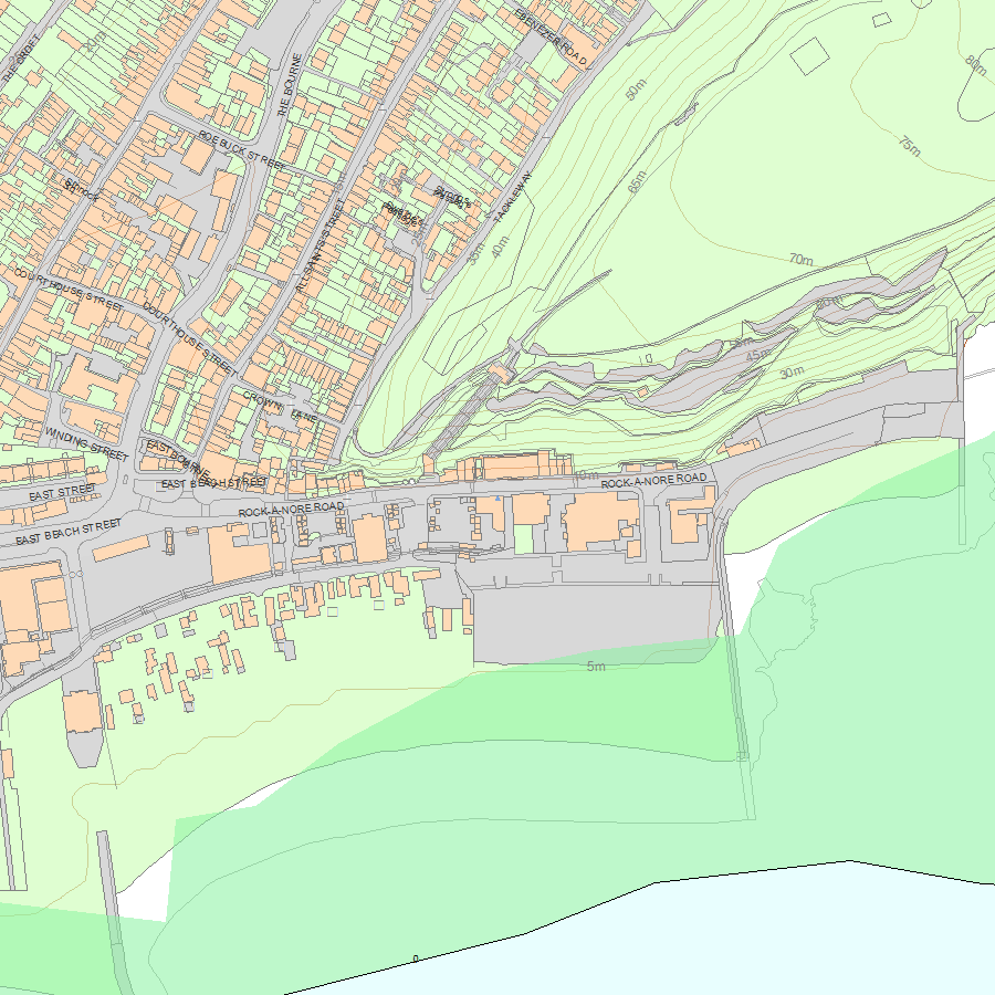
Hastings Fishermen's Museum, 21, Rock-A-Nore Road, Hastings, TH34 3DW
The building may lie within the boundary of more than one authority.
County: East Sussex
District: Hastings
District Type: District Authority
Parish: Non Civil Parish
National Park: Not applicable to this List entry.
Grade: II
Date first listed: 14-Sep-1976
Date of most recent amendment: Not applicable to this List entry.
Legacy System Information
The contents of this record have been generated from a legacy data system.
Legacy System: LBS
UID: 294063
Asset Groupings
This List entry does not comprise part of an Asset Grouping. Asset Groupings are not part of the official record but are added later for information.
List Entry Description
Summary of Building
Legacy Record - This information may be included in the List Entry Details.
Reasons for Designation
Legacy Record - This information may be included in the List Entry Details.
History
Legacy Record - This information may be included in the List Entry Details.
Details
This list entry was subject to a Minor Amendment on 28/02/2018
TQ 8209 SE 15/486
TQ 8209 SE 8/485
ROCK-A-NORE ROAD (South Side)
No 21, Hastings Fishermen's Museum
(Formerly listed as Fishermen's Museum, ROCK-A-NORE ROAD)
II
1854. Built as Fishermen's Church now a museum. Plain. Coursed stone, stuccoed south, east and west walls, exposed masonry on north wall with stuccoed quoins. Low-pitched slated roof with coped gable ends, east end with stone cross at apex and west end with bellcote. North and south walls have tall lancets, south wall with later lean-to vestry. East and west ends have tripartite lancets, taller at centre. Four-centred arch doorway at west end of north and south walls. No division between nave and chancel. Gallery across the west end.
Listing NGR: TQ8276409501
Selected Sources
Legacy Record - This information may be included in the List Entry Details
Map
National Grid Reference: TQ 82764 09501
The below map is for quick reference purposes only and may not be to scale. For a copy of the full scale map, please see the attached PDF - 1043428.pdf - Please be aware that it may take a few minutes for the download to complete.
© Crown Copyright and database right 2018. All rights reserved. Ordnance Survey Licence number 100024900.
© British Crown and SeaZone Solutions Limited 2018. All rights reserved. Licence number 102006.006.
This copy shows the entry on 25-Apr-2024 at 09:03:55.


