List Entry Summary
This building is listed under the Planning (Listed Buildings and Conservation Areas) Act 1990 as amended for its special architectural or historic interest.
Name: RANGE OF OUTBUILDINGS AND STABLES, AND WALLS ENCLOSING A COURTYARD TO SOUTH OF HARDWICK HALL
List Entry Number: 1051634
Location
RANGE OF OUTBUILDINGS AND STABLES, AND WALLS ENCLOSING A COURTYARD TO SOUTH OF HARDWICK HALL
The building may lie within the boundary of more than one authority.
County: Derbyshire
District: Bolsover
District Type: District Authority
Parish: Ault Hucknall
National Park: Not applicable to this List entry.
Grade: II*
Date first listed: 08-Jul-1966
Date of most recent amendment: Not applicable to this List entry.
Legacy System Information
The contents of this record have been generated from a legacy data system.
Legacy System: LBS
UID: 79182
Asset Groupings
This List entry does not comprise part of an Asset Grouping. Asset Groupings are not part of the official record but are added later for information.
List Entry Description
Summary of Building
Legacy Record - This information may be included in the List Entry Details.
Reasons for Designation
Legacy Record - This information may be included in the List Entry Details.
History
Legacy Record - This information may be included in the List Entry Details.
Details
SK 46 SE
10/12
8.7.66
PARISH OF AULT HUCKNALL
HARDWICK PARK
Range of Outbuildings & Stables, and walls enclosing a courtyard to South of Hall Hardwick
GV
II*
Range of outbuildings and stables. C17 and C19. Coursed squared sandstone with
sandstone dressings. Stone slate roofs with stone coped gables. Two ashlar ridge
stacks. Irregular one and two storey ranges, forming the south side of a large
enclosed courtyard. At the east end is a cart hovel with six openings divided by
stop-chamfered piers, which have elementary square bases and capitals. Shed at east
end with plank doors. To the west is a recessed symmetrical two-bay unit. Central
doorway with chamfered ashlar surround and segmental relieving arch. Plank door.
Flanked by 3-light recessed and chamfered mullioned windows. Return wall to the
right has a pair of blind round-arched entrances with windows set in. Projecting six
bay range to west has plain doorways and two tiers of two and three light mullioned
windows; the upper windows smaller than the lower. To the right is a round-arched
opening with stepped gable, into a courtyard. Principal range to the west was under
scaffolding at the time of writing. Various doorways and mullioned windows. Central
clock turret in two square stages. The lower stage contains the clock, and has a
pyramidal roof narrowing to the upper, bell-stage. Ogee roof and weather vane.
Listing NGR: SK4636263478
Selected Sources
Legacy Record - This information may be included in the List Entry Details
Map
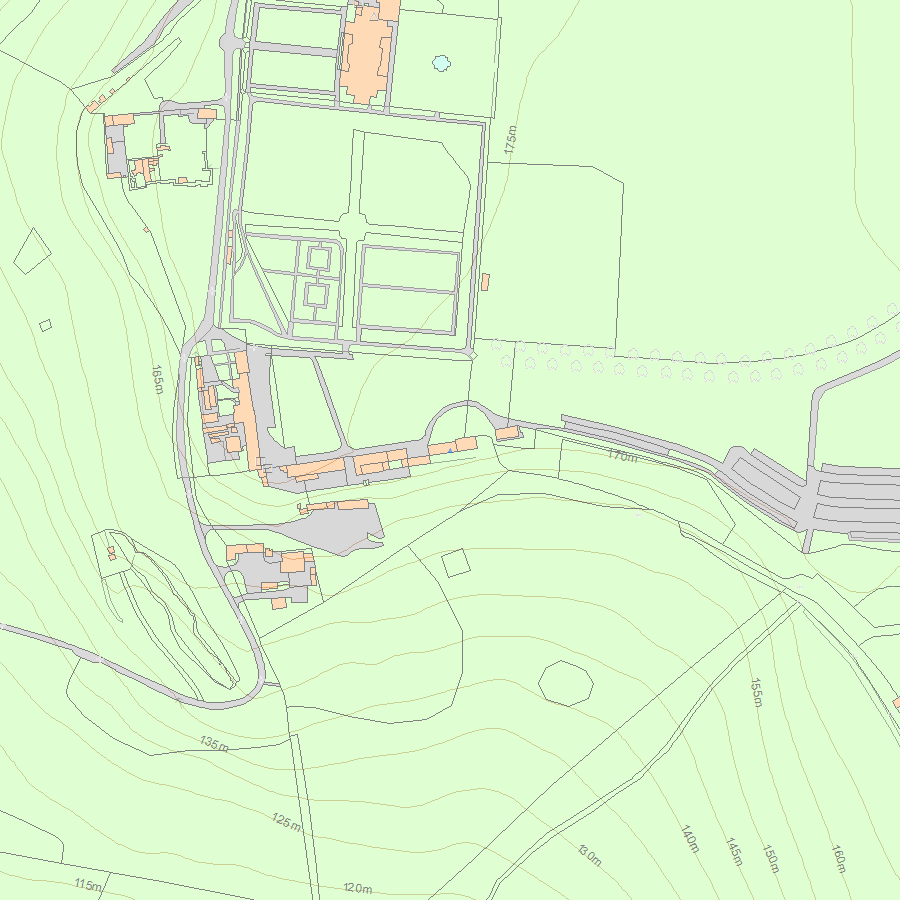
National Grid Reference: SK 46362 63478
The below map is for quick reference purposes only and may not be to scale. For a copy of the full scale map, please see the attached PDF - 1051634.pdf - Please be aware that it may take a few minutes for the download to complete.
© Crown Copyright and database right 2018. All rights reserved. Ordnance Survey Licence number 100024900.
© British Crown and SeaZone Solutions Limited 2018. All rights reserved. Licence number 102006.006.
This copy shows the entry on 23-Apr-2024 at 03:24:17.


