List Entry Summary
This building is listed under the Planning (Listed Buildings and Conservation Areas) Act 1990 as amended for its special architectural or historic interest.
Name: CORFE CASTLE
List Entry Number: 1121000
Location
CORFE CASTLE, THE SQUARE
The building may lie within the boundary of more than one authority.
County:
District: Dorset
District Type: Unitary Authority
Parish: Corfe Castle
National Park: Not applicable to this List entry.
Grade: I
Date first listed: 20-Nov-1959
Date of most recent amendment: Not applicable to this List entry.
Legacy System Information
The contents of this record have been generated from a legacy data system.
Legacy System: LBS
UID: 109274
Asset Groupings
This List entry does not comprise part of an Asset Grouping. Asset Groupings are not part of the official record but are added later for information.
List Entry Description
Summary of Building
Legacy Record - This information may be included in the List Entry Details.
Reasons for Designation
Legacy Record - This information may be included in the List Entry Details.
History
Legacy Record - This information may be included in the List Entry Details.
Details
CORFE CASTLE THE SQUARE (North side)
SY 95 82, SY 96 82
7/122
Corfe Castle
20.11.59
GV I
Ruins of former royal castle, built on a natural hilltop in a gap in the main
Purbeck range. Late C11 origin - possibly on an earlier pre-Conquest site,
altered and enlarged in C12, C13 and C14. The Keep refurbished as a house in
mid-C16 and the whole structure slighted and largely demolished after the Civil War.
The fortified enclosure roughly triangular in plan. The curtain walls survive in
part, with the bases of semi-circular towers. Surviving walls part ashlar, part
rough ashlar, part rubble. Outer Gatehouse, at south end, approached by a 4-arch
stone bridge over the now dry moat. Gatehouse consists of a segmental archway
flanked by bases of 2 circular towers, linked to curtain wall. Inner, south-west
Gatehouse, south of the surviving structures, consists of 2 circular towers flanking
a pointed segmental archway. On the left, this has dropped several feet following
undermining after the Civil Wr. At north-west of the site, the remains of the Old
Hall, late C11. Lower walls of this survive, with some herringbone masonry and part
blocked round arched openings. At west end, remains of the Butavant Tower, early C13.
Near the centre, the Keep, C12, square on plan, originally 3-storeyed - an extra
storey inserted in C13. Altered in mid-C16 by Sir Christopher Hatton, - remains
of Tudor windows and fireplaces survive. North of the Keep, large blocks of fallen
masonry. West of the Keep, the Gloriette, a C13 first-floor hall house, with Hall
and Solar over an originally vaulted undercroft. Several lancet windows survive,
with deep roll mouldings. In spite of much destruction, still an impressive
structure, dominating the village. A National Trust property. A Scheduled Ancient
Monument No, 1. (RCHM, Monument 10. Dorset. Vol. II. National Trust Guide.
Corfe Castle 1985).
Listing NGR: SY9601582082
Selected Sources
Books and journalsInventory of Dorset II South East, (1970)
'National Trust Guide' in Corfe Castle, (1985)
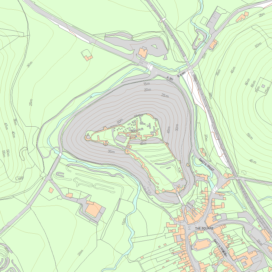
Map
National Grid Reference: SY 95912 82286
The below map is for quick reference purposes only and may not be to scale. For a copy of the full scale map, please see the attached PDF - 1121000.pdf - Please be aware that it may take a few minutes for the download to complete.
© Crown Copyright and database right 2018. All rights reserved. Ordnance Survey Licence number 100024900.
© British Crown and SeaZone Solutions Limited 2018. All rights reserved. Licence number 102006.006.
This copy shows the entry on 19-Jul-2025 at 06:41:27.


