List Entry Summary
This building is listed under the Planning (Listed Buildings and Conservation Areas) Act 1990 as amended for its special architectural or historic interest.
Name: CROSS AT APPROXIMATELY 6 METRES SOUTH EAST OF PORCH OF CHURCH OF ST BURYAN
List Entry Number: 1137748
Location
CROSS AT APPROXIMATELY 6 METRES SOUTH EAST OF PORCH OF CHURCH OF ST BURYAN
The building may lie within the boundary of more than one authority.
County:
District: Cornwall
District Type: Unitary Authority
Parish: St. Buryan, Lamorna and Paul
National Park: Not applicable to this List entry.
Grade: II
Date first listed: 15-Dec-1988
Date of most recent amendment: Not applicable to this List entry.
Legacy System Information
The contents of this record have been generated from a legacy data system.
Legacy System: LBS
UID: 69688
Asset Groupings
This List entry does not comprise part of an Asset Grouping. Asset Groupings are not part of the official record but are added later for information.
List Entry Description
Summary of Building
Legacy Record - This information may be included in the List Entry Details.
Reasons for Designation
Legacy Record - This information may be included in the List Entry Details.
History
Legacy Record - This information may be included in the List Entry Details.
Details
ST BURYAN ST BURYAN
W 42 NW
5/134 (AM No 810) Cross at approximately 6 metres
- south east of porch of Church of
St Buryan
GV
II
Cross head on later base. Pre-Conquest cross on probably C18 or early C19 base.
Dressed granite. Pierced wheel-head has moulded cross patee in bold relief with 5 bosses to one side and the crucifixion to the other. The cross is set into a
possibly original socketted base over a stepped pyramid.
Crosses of West Cornwall by Laura Rowe.
Scheduled Ancient Monumeht,810.
Listing NGR: SW4091225699
Selected Sources
Books and journalsRowe, L, Granite Crosses of West Cornwall
Map
National Grid Reference: SW 40912 25699
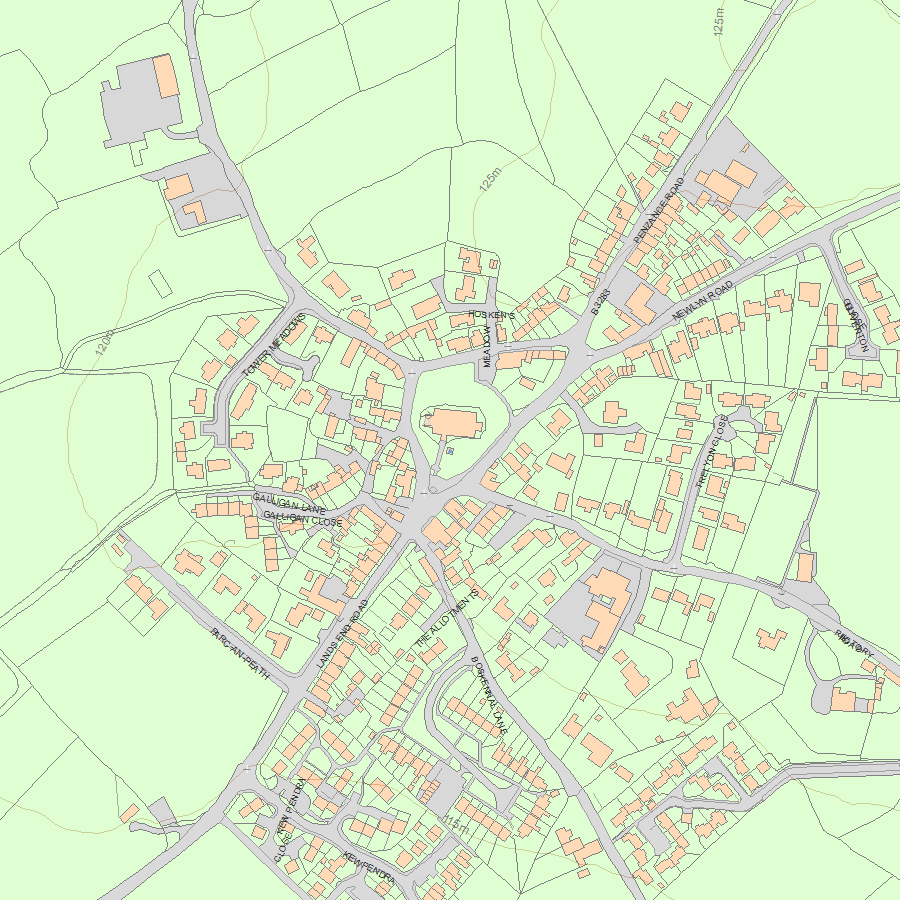
The below map is for quick reference purposes only and may not be to scale. For a copy of the full scale map, please see the attached PDF - 1137748.pdf - Please be aware that it may take a few minutes for the download to complete.
© Crown Copyright and database right 2018. All rights reserved. Ordnance Survey Licence number 100024900.
© British Crown and SeaZone Solutions Limited 2018. All rights reserved. Licence number 102006.006.
This copy shows the entry on 20-Apr-2024 at 10:29:42.


