List Entry Summary
This building is listed under the Planning (Listed Buildings and Conservation Areas) Act 1990 as amended for its special architectural or historic interest.
Name: SHERIFF HUTTON CASTLE
List Entry Number: 1149592
Location
SHERIFF HUTTON CASTLE, MAIN STREET
The building may lie within the boundary of more than one authority.
County:
District: North Yorkshire
District Type: Unitary Authority
Parish: Sheriff Hutton
National Park: Not applicable to this List entry.
Grade: II*
Date first listed: 25-Jan-1954
Date of most recent amendment: 15-Jul-1985
Legacy System Information
The contents of this record have been generated from a legacy data system.
Legacy System: LBS
UID: 329526
Asset Groupings
This List entry does not comprise part of an Asset Grouping. Asset Groupings are not part of the official record but are added later for information.
List Entry Description
Summary of Building
Legacy Record - This information may be included in the List Entry Details.
Reasons for Designation
Legacy Record - This information may be included in the List Entry Details.
History
Legacy Record - This information may be included in the List Entry Details.
Details
SE 66 NE SHERIFF HUTTON MAIN STREET
(south side, off)
3/36 Sheriff Hutton Castle
(Formerly listed as The
25.1.54 Ruins of the Castle)
II*
Castle, now ruinous. Begun in 1382 by John, Lord Neville, with C15
gatehouse inserted. Sandstone and limestone rubble. Rectangular on plan
with 4 corner towers and remains of curtain walls enclosing inner court of
120 x 100 ft. Gatehouse to north of south-eastern tower, with a poorly
aligned intermediate tower to north. Substantial remains of corner towers
survive, to 4 storeys in places. Some trefoil headed cusped windows survive
and several fireplaces. Gatehouse has 4 shields in relief over first floor
window opening. Interior contains some surviving tunnel vaulting to ground
floor and cellars, that to north-eastern tower particularly well-preserved.
Pevsner "Yorkshire: The North Riding" 1966.
Victoria County History 1968.
Listing NGR: SE6517066257
Selected Sources
Books and journalsPage, W, The Victoria History of the County of York: North Riding, (1925)
Pevsner, N, The Buildings of England: Yorkshire: The North Riding, (1966)
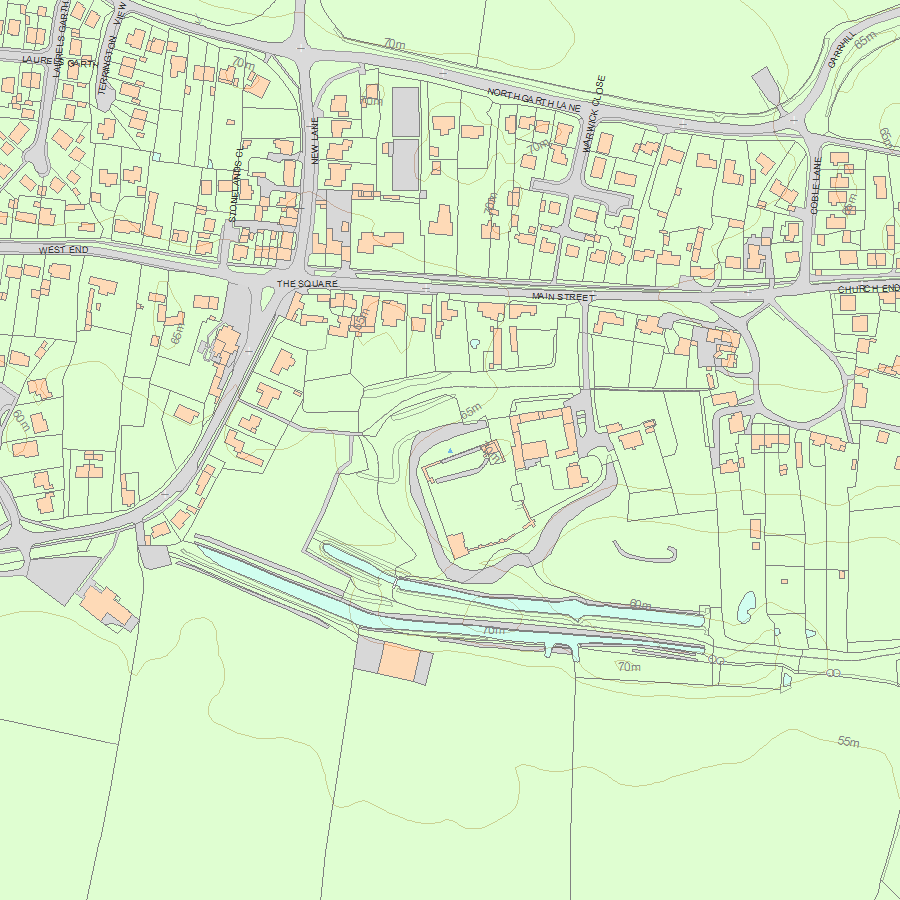
Map
National Grid Reference: SE 65170 66257
The below map is for quick reference purposes only and may not be to scale. For a copy of the full scale map, please see the attached PDF - 1149592.pdf - Please be aware that it may take a few minutes for the download to complete.
© Crown Copyright and database right 2018. All rights reserved. Ordnance Survey Licence number 100024900.
© British Crown and SeaZone Solutions Limited 2018. All rights reserved. Licence number 102006.006.
This copy shows the entry on 25-Apr-2024 at 11:15:58.


