List Entry Summary
This building is listed under the Planning (Listed Buildings and Conservation Areas) Act 1990 as amended for its special architectural or historic interest.
Name: HODGSON TOMB CIRCA 4 METRES SOUTH OF TOWER OF CHRIST CHURCH
List Entry Number: 1185085
Location
HODGSON TOMB CIRCA 4 METRES SOUTH OF TOWER OF CHRIST CHURCH, PRESTON ROAD
The building may lie within the boundary of more than one authority.
County:
District: North Tyneside
District Type: Metropolitan Authority
Parish: Non Civil Parish
National Park: Not applicable to this List entry.
Grade: II
Date first listed: 19-Feb-1986
Date of most recent amendment: Not applicable to this List entry.
Legacy System Information
The contents of this record have been generated from a legacy data system.
Legacy System: LBS
UID: 303360
Asset Groupings
This List entry does not comprise part of an Asset Grouping. Asset Groupings are not part of the official record but are added later for information.
List Entry Description
Summary of Building
Legacy Record - This information may be included in the List Entry Details.
Reasons for Designation
Legacy Record - This information may be included in the List Entry Details.
History
Legacy Record - This information may be included in the List Entry Details.
Details
TYNEMOUTH PRESTON ROAD (east side)
NZ 3568 NW
North Shields.
11/114 Hodgson tomb c. 4 metres
south of tower of Christ
Church.
G.V. II
Chest tomb. Edward Hodgson of North Shields, Cordwainer, one of the founders of
the Church; buried 3rd November 1690; his wife died 1689; and William Richardson,
died 1710 "Aged about 59 years". Sandstone. Rusticated corner piers, central side
pilasters, with symbols of death, and pick and shovel in low relief panels;
rounded-edged slab has deeply cut helmet, crest and mantling to blank shield.
Listing NGR: NZ3538168651
Selected Sources
Legacy Record - This information may be included in the List Entry Details
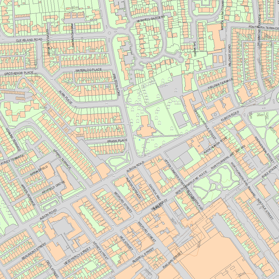
Map
National Grid Reference: NZ 35381 68651
The below map is for quick reference purposes only and may not be to scale. For a copy of the full scale map, please see the attached PDF - 1185085.pdf - Please be aware that it may take a few minutes for the download to complete.
© Crown Copyright and database right 2018. All rights reserved. Ordnance Survey Licence number 100024900.
© British Crown and SeaZone Solutions Limited 2018. All rights reserved. Licence number 102006.006.
This copy shows the entry on 04-May-2024 at 06:29:25.


