List Entry Summary
This building is listed under the Planning (Listed Buildings and Conservation Areas) Act 1990 as amended for its special architectural or historic interest.
Name: HORSHAM FREE CHRISTIAN (UNITARIAN) CHURCH
List Entry Number: 1192127
Location
HORSHAM FREE CHRISTIAN (UNITARIAN) CHURCH, WORTHING ROAD
The building may lie within the boundary of more than one authority.
County: West Sussex
District: Horsham
District Type: District Authority
Parish: Non Civil Parish
National Park: Not applicable to this List entry.
Grade: II
Date first listed: 20-May-1949
Date of most recent amendment: Not applicable to this List entry.
Legacy System Information
The contents of this record have been generated from a legacy data system.
Legacy System: LBS
UID: 298204
Asset Groupings
This List entry does not comprise part of an Asset Grouping. Asset Groupings are not part of the official record but are added later for information.
List Entry Description
Summary of Building
Legacy Record - This information may be included in the List Entry Details.
Reasons for Designation
Legacy Record - This information may be included in the List Entry Details.
History
Legacy Record - This information may be included in the List Entry Details.
Details
WORTHING ROAD
1.
1236
(West Side)
Horsham Free Christian
(Unitarian) Church
TQ 1630 1/65 20.5.49.
II GV
2.
Erected 1720-1 according to an inscription in one of the windows. 2 storeys.
Red brick with grey headers. String course and plinth. Hipped roof of Horsham
slabs. Casement windows with leaded square panes. Modern porch in centre of the
front. Lean-to extension to left with round-headed window in south gable with Gothic
glazing bars. 2 tall Doric columns inside and wooden gallery with box pews.
The Free Christian Church and Nos 20 to 28 (even) form a group.
Listing NGR: TQ1688630605
Selected Sources
Legacy Record - This information may be included in the List Entry Details
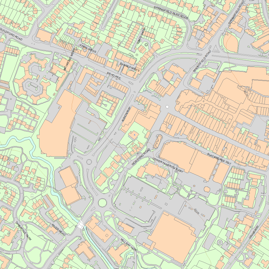
Map
National Grid Reference: TQ 16886 30605
The below map is for quick reference purposes only and may not be to scale. For a copy of the full scale map, please see the attached PDF - 1192127.pdf - Please be aware that it may take a few minutes for the download to complete.
© Crown Copyright and database right 2018. All rights reserved. Ordnance Survey Licence number 100024900.
© British Crown and SeaZone Solutions Limited 2018. All rights reserved. Licence number 102006.006.
This copy shows the entry on 19-Apr-2024 at 09:51:55.


