List Entry Summary
This building is listed under the Planning (Listed Buildings and Conservation Areas) Act 1990 as amended for its special architectural or historic interest.
Name: PERRY FARMHOUSE
List Entry Number: 1198557
Location
PERRY FARMHOUSE, HIGH STREET
The building may lie within the boundary of more than one authority.
County:
District: Wiltshire
District Type: Unitary Authority
Parish: Maiden Bradley with Yarnfield
National Park: Not applicable to this List entry.
Grade: II
Date first listed: 09-Sep-1987
Date of most recent amendment: Not applicable to this List entry.
Legacy System Information
The contents of this record have been generated from a legacy data system.
Legacy System: LBS
UID: 321204
Asset Groupings
This List entry does not comprise part of an Asset Grouping. Asset Groupings are not part of the official record but are added later for information.
List Entry Description
Summary of Building
Legacy Record - This information may be included in the List Entry Details.
Reasons for Designation
Legacy Record - This information may be included in the List Entry Details.
History
Legacy Record - This information may be included in the List Entry Details.
Details
MAIDEN BRADLEY HIGH STREET
ST 83 NW
(south side)
4/98 Perry Farmhouse
II
Farmhouse. Circa 1700, altered C19. Rubble stone, rendered south
front, triple ridge tiles to 2-span roof, gable end brick stacks.
Two-storey, 3-window. Central 6-panelled door in Cl9 gabled stone
porch with segmental-arched opening, C19 three-light ovolo-
mullioned casement either side, lintel string course. First floor
has 3-light original ovolo-mullioned casement either side of
central 2-light. Attached to right is 2-storey range with 20-pane
and 16-pane sashes. Left return has string courses to first floor
and eaves level, C19 two-light ovolo-mullioned casements, several
blocked openings to left hand range. Rear has 2-light casements
and 2-light ovolo-mullioned casements, ovolo-moulded attic lights
with hoodmoulds, one in left hand gable original. Right return has
attached lean-to extension, 2-light original ovolo-mullioned
casement to first floor. Interior not accessible at time of survey
(October 1986).
Listing NGR: ST8052439226
Selected Sources
Legacy Record - This information may be included in the List Entry Details
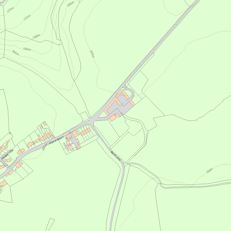
Map
National Grid Reference: ST 80524 39226
The below map is for quick reference purposes only and may not be to scale. For a copy of the full scale map, please see the attached PDF - 1198557.pdf - Please be aware that it may take a few minutes for the download to complete.
© Crown Copyright and database right 2018. All rights reserved. Ordnance Survey Licence number 100024900.
© British Crown and SeaZone Solutions Limited 2018. All rights reserved. Licence number 102006.006.
This copy shows the entry on 23-Apr-2024 at 12:03:31.


