List Entry Summary
This building is listed under the Planning (Listed Buildings and Conservation Areas) Act 1990 as amended for its special architectural or historic interest.
Name: MEXBOROUGH FARM BARN AND ATTACHED OUTBUILDING
List Entry Number: 1227717
Location
MEXBOROUGH FARM BARN AND ATTACHED OUTBUILDING, MAIN STREET
The building may lie within the boundary of more than one authority.
County:
District: Leeds
District Type: Metropolitan Authority
Parish: Thorner
National Park: Not applicable to this List entry.
Grade: II
Date first listed: 22-Jul-1986
Date of most recent amendment: Not applicable to this List entry.
Legacy System Information
The contents of this record have been generated from a legacy data system.
Legacy System: LBS
UID: 425488
Asset Groupings
This List entry does not comprise part of an Asset Grouping. Asset Groupings are not part of the official record but are added later for information.
List Entry Description
Summary of Building
Legacy Record - This information may be included in the List Entry Details.
Reasons for Designation
Legacy Record - This information may be included in the List Entry Details.
History
Legacy Record - This information may be included in the List Entry Details.
Details
THORNER MAIN STREET
SE3740 LS14 (west side)
16/190 Mexborough Farm
barn and attached
outbuilding
GV II
Barn and attached outbuilding. Mid C18. Hammer-dressed stone, stone slate
roof. L-shaped plan. 3-bay barn to left of 2-storey, 3-bay outbuilding
which breaks forward to right. Barn: quoins. Central segmental-arched
cart-entry with composite jambs, skewbacks and voussoirs. Rectangular
ventilators. Attached outbuilding has, in its gable, 1st-floor doorway with
monolithic jambs and keyed lintel approached up a flight of 13 stone steps.
Rear of barn has similar cart-entry as front with 2 windows to left and 2 over 2
rectangular ventilators to right. Left-hand return of outbuilding has 3 doorways
with monolithic jambs and lintels. Central door flanked by windows with C20
glazing and window above.
Interior: both ranges have queen-post trusses. Included for group value.
Listing NGR: SE3784340479
Selected Sources
Legacy Record - This information may be included in the List Entry Details
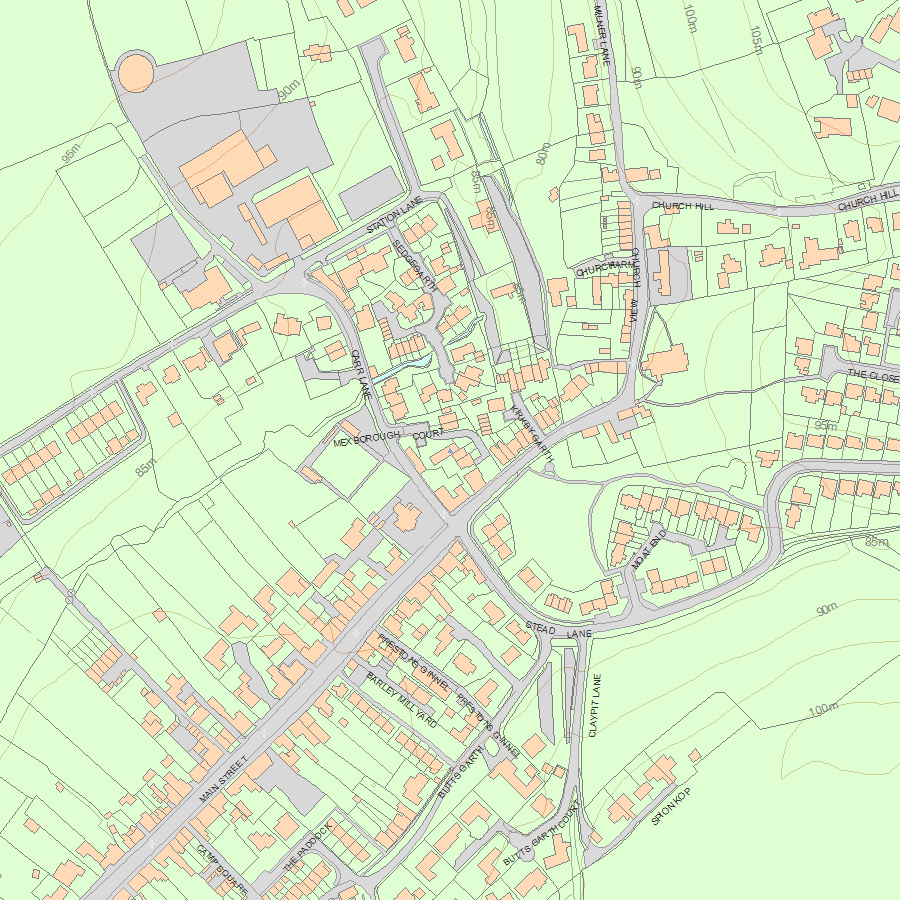
Map
National Grid Reference: SE 37843 40479
The below map is for quick reference purposes only and may not be to scale. For a copy of the full scale map, please see the attached PDF - 1227717.pdf - Please be aware that it may take a few minutes for the download to complete.
© Crown Copyright and database right 2018. All rights reserved. Ordnance Survey Licence number 100024900.
© British Crown and SeaZone Solutions Limited 2018. All rights reserved. Licence number 102006.006.
This copy shows the entry on 26-Apr-2024 at 01:58:05.


