List Entry Summary
This building is listed under the Planning (Listed Buildings and Conservation Areas) Act 1990 as amended for its special architectural or historic interest.
Name: 15 Wardwick
List Entry Number: 1229898
Location
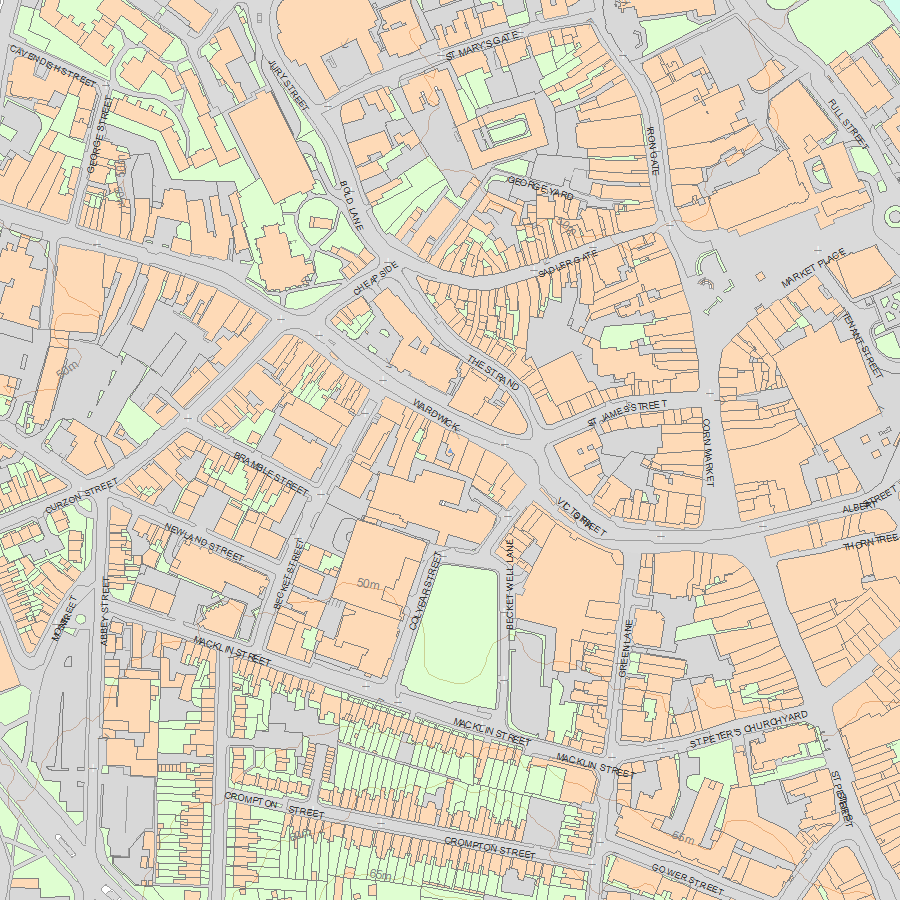
15, Wardwick, Derby, DE1 1HA
The building may lie within the boundary of more than one authority.
County:
District: City of Derby
District Type: Unitary Authority
Parish: Non Civil Parish
National Park: Not applicable to this List entry.
Grade: II*
Date first listed: 20-Jun-1952
Date of most recent amendment: Not applicable to this List entry.
Legacy System Information
The contents of this record have been generated from a legacy data system.
Legacy System: LBS
UID: 404720
Asset Groupings
This List entry does not comprise part of an Asset Grouping. Asset Groupings are not part of the official record but are added later for information.
List Entry Description
Summary of Building
Legacy Record - This information may be included in the List Entry Details.
Reasons for Designation
Legacy Record - This information may be included in the List Entry Details.
History
Legacy Record - This information may be included in the List Entry Details.
Details
This list entry was subject to a Minor Amendment on 9 June 2023 to amend the name and address, and to reformat the text to current standards
SK 3536 SW
1/311
WARDWICK (South Side)
No 15
(Formerly listed as No 15 (Wardwick Tavern Public House))
20.6.52
II*
Early C18. Red brick (formerly painted); three storeys; seven sash windows with flat brick arches and fluted stone keyblocks; five ground storey windows with modern glazing, each with a small pediment; modern inset door; doorway has stone architrave with segmental stone hood on moulded brackets. Small moulded stone eaves cornice and panelled brick parapet with stone coping. Coach entrance on right-hand side, with timbered ceiling through building. One upper room has a good panelled ceiling.
Listing NGR: SK3508936205
Selected Sources
Legacy Record - This information may be included in the List Entry Details
Map
National Grid Reference: SK 35089 36205
The below map is for quick reference purposes only and may not be to scale. For a copy of the full scale map, please see the attached PDF - 1229898.pdf - Please be aware that it may take a few minutes for the download to complete.
© Crown Copyright and database right 2018. All rights reserved. Ordnance Survey Licence number 100024900.
© British Crown and SeaZone Solutions Limited 2018. All rights reserved. Licence number 102006.006.
This copy shows the entry on 25-Apr-2024 at 09:41:39.


