List Entry Summary
This building is listed under the Planning (Listed Buildings and Conservation Areas) Act 1990 as amended for its special architectural or historic interest.
Name: QUORN HALL
List Entry Number: 1230025
Location
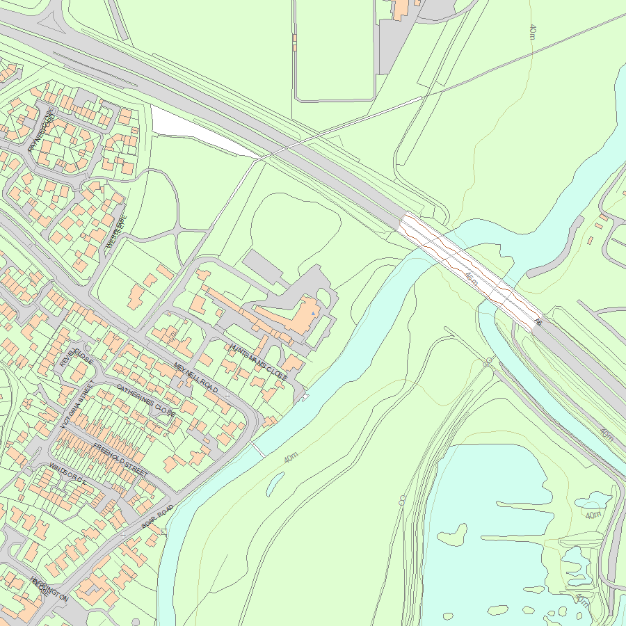
QUORN HALL, MEYNELL ROAD
The building may lie within the boundary of more than one authority.
County: Leicestershire
District: Charnwood
District Type: District Authority
Parish: Quorn
National Park: Not applicable to this List entry.
Grade: II
Date first listed: 09-Jul-1951
Date of most recent amendment: Not applicable to this List entry.
Legacy System Information
The contents of this record have been generated from a legacy data system.
Legacy System: LBS
UID: 404851
Asset Groupings
This List entry does not comprise part of an Asset Grouping. Asset Groupings are not part of the official record but are added later for information.
List Entry Description
Summary of Building
Legacy Record - This information may be included in the List Entry Details.
Reasons for Designation
Legacy Record - This information may be included in the List Entry Details.
History
Legacy Record - This information may be included in the List Entry Details.
Details
QUORN
SK 51 NE MEYNELL ROAD (North Side)
3/80
9.7.51 Quorn Hall
II
Country House. c1680, with 3rd storey of late C18, and much altered
and added to C19 and C20. Red brick with pediment and slate roof with
brick stacks. 3 storeys of 5 sashes, mainly 6/6 and 1/1. C19 canted
bay;entrance porch to left. Inside there is a good main staircase of
c1680, well plan, with heavy strings and handrail and barley sugar twist
balusters. Fine ceilings over with wire work wreaths of leaves, etc.
in centre and with a swagged cornice (similar to that at Newbold Verdon
Hall, Leicester). A room at top of back stairs (also partly c1680) has
bolection moulded panelling and a fireplace with Delft tiles (now boarded
1983). Built for a branch of the Farnham family. Pevsner.
Listing NGR: SK5676617013
Selected Sources
Legacy Record - This information may be included in the List Entry Details
Map
National Grid Reference: SK 56766 17013
The below map is for quick reference purposes only and may not be to scale. For a copy of the full scale map, please see the attached PDF - 1230025.pdf - Please be aware that it may take a few minutes for the download to complete.
© Crown Copyright and database right 2018. All rights reserved. Ordnance Survey Licence number 100024900.
© British Crown and SeaZone Solutions Limited 2018. All rights reserved. Licence number 102006.006.
This copy shows the entry on 30-Apr-2024 at 09:55:37.


