List Entry Summary
This building is listed under the Planning (Listed Buildings and Conservation Areas) Act 1990 as amended for its special architectural or historic interest.
Name: CALNE FREE CHURCH
List Entry Number: 1247331
Location
CALNE FREE CHURCH, CHURCH STREET
The building may lie within the boundary of more than one authority.
County:
District: Wiltshire
District Type: Unitary Authority
Parish: Calne
National Park: Not applicable to this List entry.
Grade: II
Date first listed: 22-Dec-1995
Date of most recent amendment: 02-Feb-1996
Legacy System Information
The contents of this record have been generated from a legacy data system.
Legacy System: LBS
UID: 456696
Asset Groupings
This List entry does not comprise part of an Asset Grouping. Asset Groupings are not part of the official record but are added later for information.
List Entry Description
Summary of Building
Legacy Record - This information may be included in the List Entry Details.
Reasons for Designation
Legacy Record - This information may be included in the List Entry Details.
History
Legacy Record - This information may be included in the List Entry Details.
Details
CALNE
ST9971 CHURCH STREET
755-1/4/99 (North side)
Calne Free Church
GV II
Church. 1867. By W Stent of Warminster. Squared, rusticated
limestone with ashlar dressings and quoins, crested plain tile
roof. Rectangular plan with bell tower to the front left (NW);
north aisle with higher north transept extending to the line
of the aisle (no south aisle) and angled buttresses. Gothic
Revival Middle Pointed style.
The front gable end has a cinquefoil opening to the apex over
a large pointed-arched, casement-moulded, 4-light window with
foliate capitals to shafts and geometrical tracery. The
planked doors with decorative hinges are set in a
pointed-arched doorway with hollow-moulded stops springing
from low offset buttresses, the intrados has soft red stone
colonnettes with floral caps and plinths. The bell tower has a
quatrefoiled parapet with dragon gargoyles; the 2-light bell
opening has floral stops to the hoodmould, quatrefoil and
trefoil tracery and scallop-edged slate louvres. A string
course over a single-light pointed-arched window with similar
tracery is above a smaller door than the main one, similar but
with a stilted arch.
The left return has a 2-light window to the tower, and the
north aisle which projects to the same line has 3 paired
trefoil-headed windows to the clerestory. The gabled north
transept has a 3-light pointed-arched window without a
hoodmould; the tall hipped square stair turret has circular
windows and a timber porch to a pointed-arched door. To the
rear the semicircular apse and curved hipped roof has a
moulded eaves cornice, 5 pointed-arched windows and cill
string. The right return is obscured by other premises, not
included.
INTERIOR: modest and virtually unchanged. 10-bay
scissor-braced planked roof over clerestorey of paired
coloured leaded windows; the north aisle is separated by an
arcade of 4 Transitional-style round piers supporting pointed
arches, smaller to the west end giving access to the belltower
and larger to the north-east transept. The arch to the apse is
supported by colonnettes on high corbels. The apse has small
polychromatic tiles to the floor and a dado approx 2m high of
brown glazed geometrical relief-pattern tiles below 5 tall
delicate geometrical-design stained-glass windows. These are
flanked by panels of glazed tiles painted with mottos on
scrolls around olive branches, after the style of William
Morris. The glass of the west window is similar to that of the
apse. The original painted organ, pinewood pews and pulpit
remain. An unusually complete interior.
HISTORICAL NOTE: the church was built under the patronage of
the Harris family (local wholesale butchers).
(The Buildings of England: Pevsner N & Cherry B: Wiltshire:
London: 1975-: 154).
Listing NGR: ST9985671018
Selected Sources
Books and journalsPevsner, N, The Buildings of England: Wiltshire, (1975), 154
Map
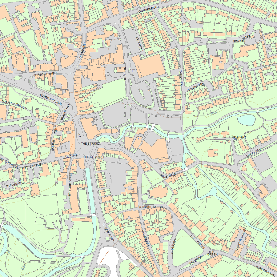
National Grid Reference: ST 99856 71018
The below map is for quick reference purposes only and may not be to scale. For a copy of the full scale map, please see the attached PDF - 1247331.pdf - Please be aware that it may take a few minutes for the download to complete.
© Crown Copyright and database right 2018. All rights reserved. Ordnance Survey Licence number 100024900.
© British Crown and SeaZone Solutions Limited 2018. All rights reserved. Licence number 102006.006.
This copy shows the entry on 19-Apr-2024 at 10:06:30.


