List Entry Summary
This building is listed under the Planning (Listed Buildings and Conservation Areas) Act 1990 as amended for its special architectural or historic interest.
Name: Old Lower Lighthouse, with boundary walls and coastguard house
List Entry Number: 1280466
Location
Old Lower Lighthouse, Portland Bill Road, Portland, DT5 2JT
The building may lie within the boundary of more than one authority.
County:
District: Dorset
District Type: Unitary Authority
Parish: Portland
National Park: Not applicable to this List entry.
Grade: II
Date first listed: 21-Sep-1978
Date of most recent amendment: Not applicable to this List entry.
Legacy System Information
The contents of this record have been generated from a legacy data system.
Legacy System: LBS
UID: 382000
Asset Groupings
This List entry does not comprise part of an Asset Grouping. Asset Groupings are not part of the official record but are added later for information.
List Entry Description
Summary of Building
Legacy Record - This information may be included in the List Entry Details.
Reasons for Designation
Legacy Record - This information may be included in the List Entry Details.
History
Legacy Record - This information may be included in the List Entry Details.
Details
This list entry was subject to a Minor Amendment on 12/12/2019
SY67NE
969-1/1/164
PORTLAND
Portland Bill
PORTLAND BILL ROAD, (south east side)
Old Lower Lighthouse, with boundary walls and coastguard house
21/09/78
II
Lighthouse and house with bird observatory. 1869, modified 1960. Rendered and painted, slate roofs. Slender tapered cylindrical tower, lantern top; domestic block to northeast, linked by flat-roofed one- storey annular extension of c 1960.
Tower has various openings, two-light casements set in deep reveals under cambered projecting lintels and plain cills, crowned by bold cornice carrying cast-iron balustrade with heavy posts and three plain rails to balcony around lantern. Single storey extension has C20 steel casements. Domestic block in two storeys with original three-window unit and a slightly smaller and lower unit added, left. Twelve-pane sashes; central gabled porch, coped verges to bold kneelers, boldly modelled linked triple stack to left gable, and double stack to ridge, right of entrance. Extension also with gable stack to left.
First lighthouse here built 1716, replaced 1789, and again in 1869. Decommissioned 1906 with opening of New Lighthouse (qv); at this time the commemmorative plaque of 1789 removed to the New Lighthouse. Since 1962 used for bird observatory. Used in conjunction with the Old Higher Lighthouse (qv).
Subsidiary Features: enclosed in rubble boundary wall to half-round oversailing copings and a set-back quadrant at entry on the north side, with pair of square piers to pyramidal cappings.
Listing NGR: SY6811768973
Selected Sources
Books and journalsInventory of Dorset, (1970), 253
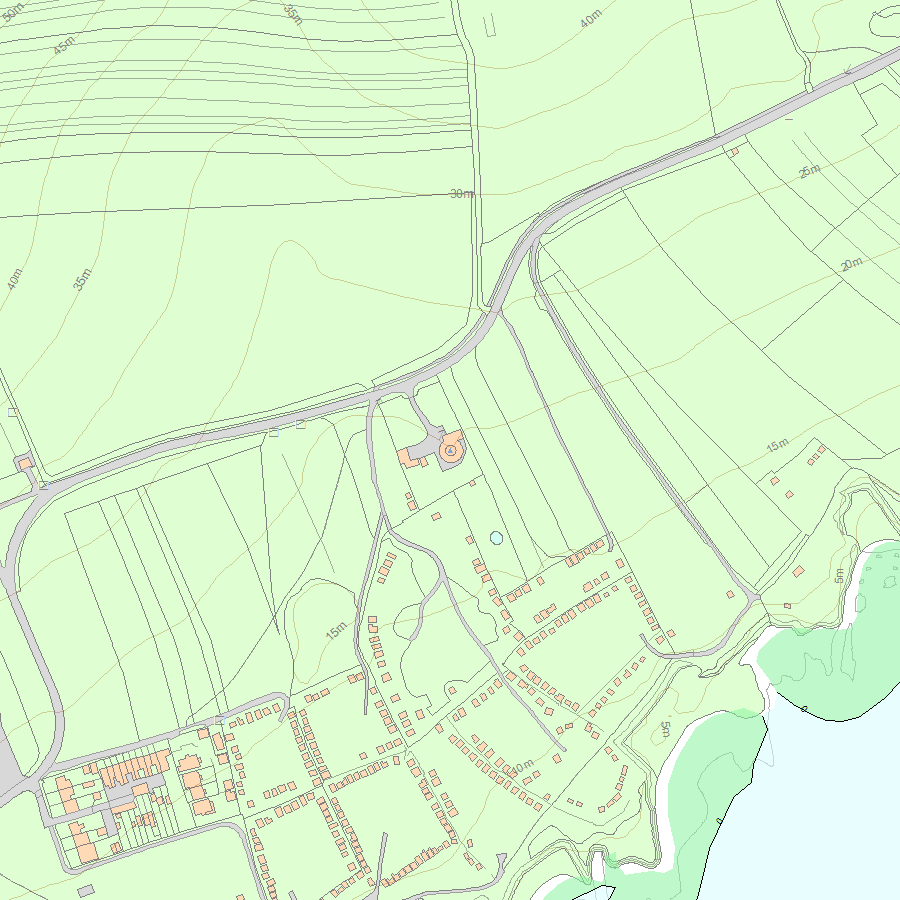
Map
National Grid Reference: SY 68117 68973
The below map is for quick reference purposes only and may not be to scale. For a copy of the full scale map, please see the attached PDF - 1280466.pdf - Please be aware that it may take a few minutes for the download to complete.
© Crown Copyright and database right 2018. All rights reserved. Ordnance Survey Licence number 100024900.
© British Crown and SeaZone Solutions Limited 2018. All rights reserved. Licence number 102006.006.
This copy shows the entry on 30-Apr-2024 at 11:01:03.


