List Entry Summary
This building is listed under the Planning (Listed Buildings and Conservation Areas) Act 1990 as amended for its special architectural or historic interest.
Name: ODLE HILL COTTAGE
List Entry Number: 1317918
Location
ODLE HILL COTTAGE, MAIN STREET
The building may lie within the boundary of more than one authority.
County: Devon
District: Teignbridge
District Type: District Authority
Parish: Abbotskerswell
National Park: Not applicable to this List entry.
Grade: II
Date first listed: 17-Jul-1987
Date of most recent amendment: Not applicable to this List entry.
Legacy System Information
The contents of this record have been generated from a legacy data system.
Legacy System: LBS
UID: 84715
Asset Groupings
This List entry does not comprise part of an Asset Grouping. Asset Groupings are not part of the official record but are added later for information.
List Entry Description
Summary of Building
Legacy Record - This information may be included in the List Entry Details.
Reasons for Designation
Legacy Record - This information may be included in the List Entry Details.
History
Legacy Record - This information may be included in the List Entry Details.
Details
SX 86 NE ABBOTSKERSWELL MAIN STREET
Abbotskerswell
3/11 Odle Hill Cottage
-
II
Cottage. Probably C17 with C18 addition and C20 extensions. Rendered rubble/cob
walls. Thatched roof gabled to right end, hipped to left and ½-hipped to wing.
Rendered rubble gable end stack to right.
Originally probably a 2 room plan, with 1 principal room heated by gable end stack
to right, possibly central passage. Unheated 1 room wing added probably in C18
behind left-hand unheated room. C20 1 storey extension at left-hand end and
conservatory added behind right-hand room.
2 storeys. 1 window asymmetrical front with C20 aluminium framed window on ground
floor right and C19 2 light casement on first floor left of centre in very small
opening. Both have glazing bars. C20 thatched porch to left in front of C19
panelled and glazed door. C20 flat-roofed extension at left end and at rear of
right-hand side. 2 storey wing projects at a slight angle behind left-hand side of
the house.
Interior inaccessible at time of survey.
Listing NGR: SX8543368954
Selected Sources
Legacy Record - This information may be included in the List Entry Details
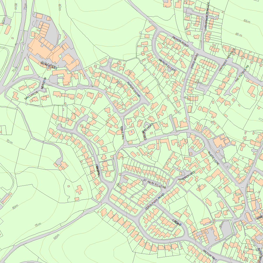
Map
National Grid Reference: SX 85433 68954
The below map is for quick reference purposes only and may not be to scale. For a copy of the full scale map, please see the attached PDF - 1317918.pdf - Please be aware that it may take a few minutes for the download to complete.
© Crown Copyright and database right 2018. All rights reserved. Ordnance Survey Licence number 100024900.
© British Crown and SeaZone Solutions Limited 2018. All rights reserved. Licence number 102006.006.
This copy shows the entry on 26-Apr-2024 at 04:15:04.


