List Entry Summary
This building is listed under the Planning (Listed Buildings and Conservation Areas) Act 1990 as amended for its special architectural or historic interest.
Name: MONK'S THATCH
List Entry Number: 1334117
Location
MONK'S THATCH, MAIN STREET
The building may lie within the boundary of more than one authority.
County: Devon
District: Teignbridge
District Type: District Authority
Parish: Abbotskerswell
National Park: Not applicable to this List entry.
Grade: II
Date first listed: 21-Jun-1977
Date of most recent amendment: Not applicable to this List entry.
Legacy System Information
The contents of this record have been generated from a legacy data system.
Legacy System: LBS
UID: 84718
Asset Groupings
This List entry does not comprise part of an Asset Grouping. Asset Groupings are not part of the official record but are added later for information.
List Entry Description
Summary of Building
Legacy Record - This information may be included in the List Entry Details.
Reasons for Designation
Legacy Record - This information may be included in the List Entry Details.
History
Legacy Record - This information may be included in the List Entry Details.
Details
SX 86 NE ABBOTSKERSWELL MAIN STREET
Abbotskerswell
3/14 Monk's Thatch
-
21.6.77
GV II
Farmhouse. Late C16 with C17 alterations, C18 wing and modernised in C20. Rendered
rubble walls. Thatched roof, half-hipped to lift end, gabled to right and to wing.
Central axial stone stack, offset from ridge, with dripcourse and brick shaft.
Brick stack to right-hand gable end and axial stack at rear of left-hand end where
it adjoins the wing.
3-room and through-passage plan, originally probably open to the roof with central
hearth, at least over the hall. Stack inserted in C17, backing onto the passage.
when the room was ceiled; the slight darkening of the timbers suggests that the hall
was open to the roof for only a relatively short period . At this stage newel
stairs were inserted at the rear of the hall in a projection and the rear wall of
the inner room was built out flush with it. Probably in C18, rear wing was added
behind lower end with barn beyond it, stack inserted at this end and also to inner
room. Modernised internally in C20 when the remains of a plank and muntin screen
beside hall stack were removed and probably a similar one at the lower side of the
passage. Newel stairs replaced with divided stairs, and passage partitioned off
from first floor rooms.
2 storeys. Asymmetrical 5 window front, 4 on ground floor. C20 2 and 3 light
casements with glazing bars in relatively small openings, first floor left-hand
window is late C20 4 light with single light window immediately to its right. C20
plank door to former passage to left of centre under thatched porch hood supported
on wooden posts at the front.
Interior: 1 ½ original roof trusses survive over the hall. The complete one
consists of substantial straight principals morticed at the apex with threaded
purlins, diagonal ridge and collar halved onto principals. This truss is over the
centre of the hall; rising directly next to the hall stack is 1 similar principal
rafter which has been cut off at the top, its opposite member was presumably
superceded by the hall stack when it was inserted. All the original timbers and the
battens and thatch between them are darkened but not black. Otherwise by C20 roof
timbers.
The hall has a C16 plank and muntin screen at its higher end with chamfered head
beam and muntins which have diagonal cut stops.
A half-beam with mortices on its soffit at the lower end of the hall adjoining the
stack is evidence for a similar screen, since removed, which probably pre-dated the
hall stack. The hall fireplace has a chamfered wooden lintel which has been filled
in below on either side obscuring the stops. Chamfered cross beam with hollow step
stops.
This house preserves some interesting internal features and its traditional facade
in a very prominent roadside position contribute greatly to the character of the
main street.
Listing NGR: SX8551368933
Selected Sources
Legacy Record - This information may be included in the List Entry Details
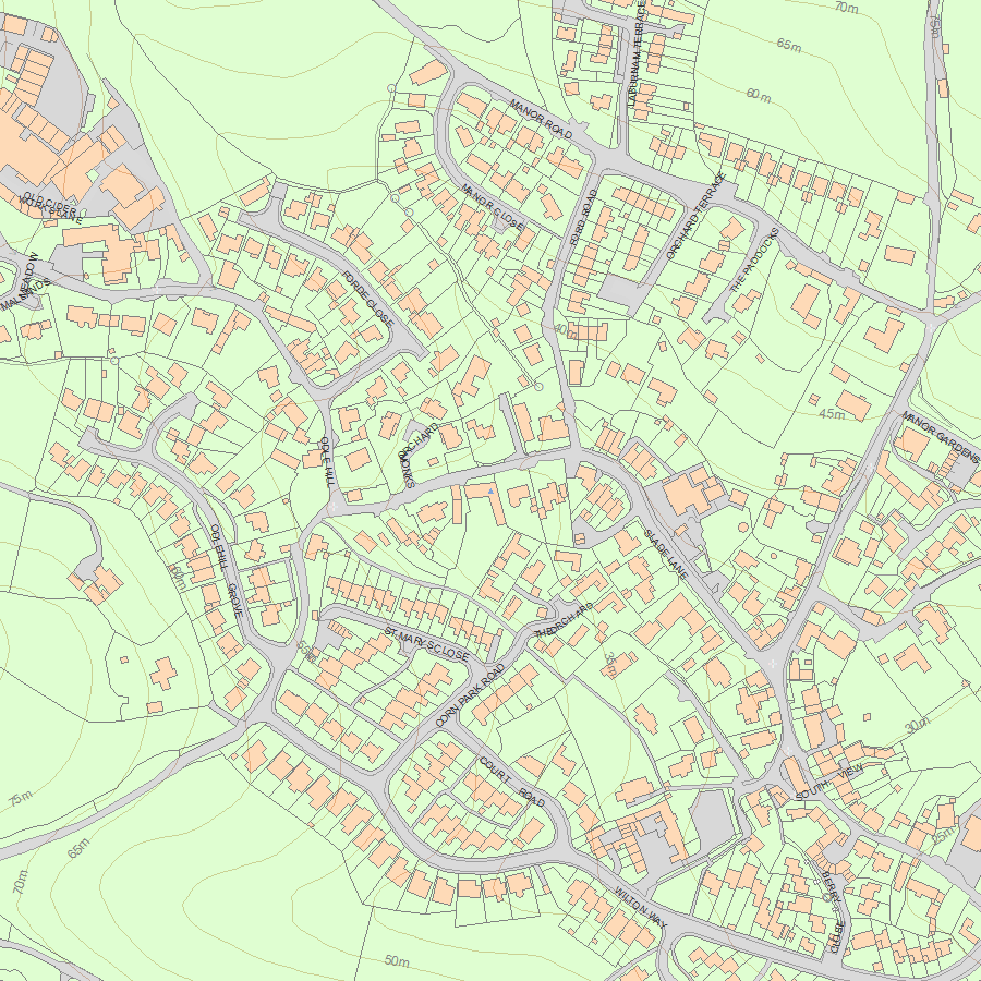
Map
National Grid Reference: SX 85513 68933
The below map is for quick reference purposes only and may not be to scale. For a copy of the full scale map, please see the attached PDF - 1334117.pdf - Please be aware that it may take a few minutes for the download to complete.
© Crown Copyright and database right 2018. All rights reserved. Ordnance Survey Licence number 100024900.
© British Crown and SeaZone Solutions Limited 2018. All rights reserved. Licence number 102006.006.
This copy shows the entry on 02-Jul-2025 at 05:50:28.


