List Entry Summary
This building is listed under the Planning (Listed Buildings and Conservation Areas) Act 1990 as amended for its special architectural or historic interest.
Name: THE RUINS OF BATTLE ABBEY
List Entry Number: 1352861
Location
THE RUINS OF BATTLE ABBEY, HIGH STREET
The building may lie within the boundary of more than one authority.
County: East Sussex
District: Rother
District Type: District Authority
Parish: Battle
National Park: Not applicable to this List entry.
Grade: I
Date first listed: 03-Aug-1961
Date of most recent amendment: 13-May-1987
Legacy System Information
The contents of this record have been generated from a legacy data system.
Legacy System: LBS
UID: 292120
Asset Groupings
This List entry does not comprise part of an Asset Grouping. Asset Groupings are not part of the official record but are added later for information.
List Entry Description
Summary of Building
Legacy Record - This information may be included in the List Entry Details.
Reasons for Designation
Legacy Record - This information may be included in the List Entry Details.
History
Legacy Record - This information may be included in the List Entry Details.
Details
TQ 7415-7515 BATTLE HIGH STREET (south west side)
41/1
The Ruins of Battle
Abbey
3.8.61 (formerly listed as
Battle Abbey)
GV
I
Of the portions of the abbey above ground the principal buildings dated from C13.
These are:- (a) the Dormitory. This was on the first floor with three vaulted
rooms below it. Stone rubble. Lancet windows. Buttresses. (b) the Guest house
to the south west. Eight barrel-vaulted chambers with buttresses on the south
side along the terrace, with rooms over. Stone rubble. Lancet windows. At the
west end are two tall octagonal turrets which were built by Sir Anthony Browne
in the C16 after the dissolution, when, as Guardian of the Princess Elizabeth
he was preparing a lodging for her at the Abbey, though she never came. The Abbey
was founded by William the Conqueror in 1087 on the site of the battle of Hastings.
The high altar of the abbey church was erected on the spot where King Harold fell.
Of the abbey church there are practically no remains above ground, but the founda-
tions have been excavated and those at the east end are marked out.
Scheduled Ancient Monument.
Listing NGR: TQ7500715726
Selected Sources
Legacy Record - This information may be included in the List Entry Details
Map
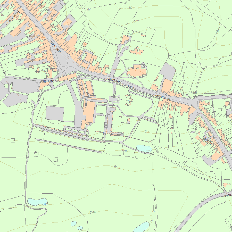
National Grid Reference: TQ 74941 15644, TQ 75006 15727
The below map is for quick reference purposes only and may not be to scale. For a copy of the full scale map, please see the attached PDF - 1352861.pdf - Please be aware that it may take a few minutes for the download to complete.
© Crown Copyright and database right 2018. All rights reserved. Ordnance Survey Licence number 100024900.
© British Crown and SeaZone Solutions Limited 2018. All rights reserved. Licence number 102006.006.
This copy shows the entry on 25-Apr-2024 at 08:43:10.


