List Entry Summary
This building is listed under the Planning (Listed Buildings and Conservation Areas) Act 1990 as amended for its special architectural or historic interest.
Name: FOX'S FARMHOUSE
List Entry Number: 1362190
Location
FOX'S FARMHOUSE, FAIRFIELD ROAD
The building may lie within the boundary of more than one authority.
County: Lancashire
District: Wyre
District Type: District Authority
Parish: Non Civil Parish
National Park: Not applicable to this List entry.
Grade: II
Date first listed: 16-Aug-1983
Date of most recent amendment: Not applicable to this List entry.
Legacy System Information
The contents of this record have been generated from a legacy data system.
Legacy System: LBS
UID: 184780
Asset Groupings
This List entry does not comprise part of an Asset Grouping. Asset Groupings are not part of the official record but are added later for information.
List Entry Description
Summary of Building
Legacy Record - This information may be included in the List Entry Details.
Reasons for Designation
Legacy Record - This information may be included in the List Entry Details.
History
Legacy Record - This information may be included in the List Entry Details.
Details
SD 33 NE POULTON-LE-FYLDE FAIRFIELD ROAD
Hardhorn
4/3
Fox's Farmhouse
II
Farmhouse, probably early C18 with alterations. Rendered brick with stone
quoins to ground floor, roof of slates except 4 courses stone slates on
outshut to rear. Baffle-entry plan of 3 bays with outshut; axial chimney
stack between 1st and 2nd bays, gable chimney stack at right end. 2-storey
gabled porch between 1st and 2nd bays, with semicircular arched opening and
2-light sliding sash window above, internal benches and unglazed peepholes.
6 identical sashed windows with glazing bars and stone sills, one on each
floor in each bay; remains of string course below top of ground floor
window in 1st bay. Interior: wide hearths with large bressumer beams in 1st bay
(original kitchen) and in housepart; dog-leg staircase in outshut from parlour,
quarter-turn staircase in kitchen; doors with shouldered panels. (1721
datestone is no longer visible).
Listing NGR: SD3526037440
Selected Sources
Legacy Record - This information may be included in the List Entry Details
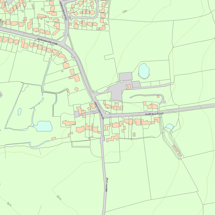
Map
National Grid Reference: SD 35260 37440
The below map is for quick reference purposes only and may not be to scale. For a copy of the full scale map, please see the attached PDF - 1362190.pdf - Please be aware that it may take a few minutes for the download to complete.
© Crown Copyright and database right 2018. All rights reserved. Ordnance Survey Licence number 100024900.
© British Crown and SeaZone Solutions Limited 2018. All rights reserved. Licence number 102006.006.
This copy shows the entry on 19-Apr-2024 at 07:10:45.


