Decision Summary
This building has been assessed under the Planning (Listed Buildings and Conservation Areas) Act 1990 as amended for its special architectural or historic interest. The asset currently does not meet the criteria for listing. It is not listed under the Planning (Listed Buildings and Conservation Areas) Act 1990 as amended.
Name: Langford Tollhouse
Reference Number: 1422400
Location
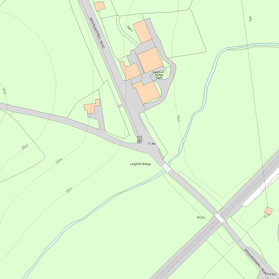
Kingskerswell Road, Langford Bridge, Abbotskerswell, Newton Abbot
The building may lie within the boundary of more than one authority.
County: Devon
District: Teignbridge
District Type: District Authority
Parish: Abbotskerswell
National Park: Not applicable to this List entry.
Decision Date: 10-Sep-2014
Description
Summary of Building
A former tollhouse of late-C18/ early-C19 date.
Reasons for currently not Listing the Building
Langford Tollhouse, Abbotskerswell, Devon, a former tollhouse of uncertain date, is not listed for the following principal reasons:
* Architectural interest: the building is of modest architectural interest;
* Date: although a tollhouse has stood on this site since the late C18, map evidence indicates that it was either rebuilt later in the C19 or at least has had its footprint altered substantially;
* Intactness: the building has lost a significant proportion of its fabric and legibility as an historic building;
* Historical Interest: despite the building representing evidence of Devon’s C18 and C19 turnpike road network, and having some group value with Langford Bridge (listed at Grade II), it is one of the less notable examples of a tollhouse in its much altered state.
History
The toll house was constructed in c.1765 by the Keyberry Bridge and Torquay Turnpike Trust, at the junction of the old road south of Newton Abbot to Kingskerswell and a road west to Abbotskerswell. The tollhouse and the nearby bridge formed the southern gateway to the new turnpike road. In 1823 the road was incorporated into the Dartmouth and Torquay Consolidated Turnpike Trust. A building is shown on the site on the Greenwood Devon map of 1827. In 1871 the tollhouse was occupied by James Travis and his wife Sarah. On the First Edition Ordnance Survey map of 1888 the building is marked as Langfordbridge Cottage and is roughly L-shaped on plan with an extended bay to the north and an addition attached to the west wall. The footprint of the building has changed since 1937 and is now roughly rectangular on plan. The building has been vacant since the mid- to late C20.
Details
A tollhouse of c.1765 date, constructed by the Keyberry Bridge and Torquay Turnpike Trust.
MATERIALS: constructed of local rubble stone with a slate roof and timber roof and floor structure and stairs. The chimneystack is red brick.
PLAN: rectangular on plan with a canted bay facing south-east at the junction of two roads.
EXTERIOR: the two-storey building has a cement render and sealed or covered openings, and a hipped roof. The main door is in the south-east bay with a corrugated sheet hood. There is a brick stack on the west end. Parts of the roof covering have collapsed.
INTERIOR: not inspected but is reported to retain parts of the stair and first floor structure.
Selected Sources
Map
National Grid Reference: SX8715469106
The below map is for quick reference purposes only and may not be to scale. For a copy of the full scale map, please see the attached PDF - 1422400.pdf - Please be aware that it may take a few minutes for the download to complete.
© Crown Copyright and database right 2018. All rights reserved. Ordnance Survey Licence number 100024900.
© British Crown and SeaZone Solutions Limited 2018. All rights reserved. Licence number 102006.006.
This copy shows the entry on 19-Jul-2025 at 06:02:23.


