List Entry Summary
This building is listed under the Planning (Listed Buildings and Conservation Areas) Act 1990 as amended for its special architectural or historic interest.
Name: BEACON HOUSE
TRINITY BUILDINGS NUMBER 1
List Entry Number: 1025356
Location
BEACON HOUSE, TYNE STREET
TRINITY BUILDINGS NUMBER 1, 1, TYNE STREET
The building may lie within the boundary of more than one authority.
County:
District: North Tyneside
District Type: Metropolitan Authority
Parish: Non Civil Parish
National Park: Not applicable to this List entry.
Grade: II
Date first listed: 19-Feb-1986
Date of most recent amendment: Not applicable to this List entry.
Legacy System Information
The contents of this record have been generated from a legacy data system.
Legacy System: LBS
UID: 303374
Asset Groupings
This List entry does not comprise part of an Asset Grouping. Asset Groupings are not part of the official record but are added later for information.
List Entry Description
Summary of Building
Legacy Record - This information may be included in the List Entry Details.
Reasons for Designation
Legacy Record - This information may be included in the List Entry Details.
History
Legacy Record - This information may be included in the List Entry Details.
Details
TYNEMOUTH TYNE STREET (north side)
NZ 3668 SW
North Shields.
15/126 Trinity Buildings No. 1
(Beacon House)
G.V. II
Lighthouse, later almshouses, now house. 1727 for Trinity House, Newcastle upon Tyne.
Painted render and brick; Welsh slate roof and lead roof to lead-covered lantern.
4 storeys, one bay square, with later porch; later 2-storey l-bay left extension.
Door in later extension. C20 glazing to windows on each floor and in extension.
Third floor band. Ball finial on ogee-hipped roof of lantern. Eroded plaque
between first and second floors commemorates conversion to almshouses after building
of new high light in 1807. Historical note: in 1536 Henry VIII empowered Trinity
House, Newcastle upon Tyne, to build 2 lighthouses at Shields. By 1807 changes in
the river bed made a new lighthouse necessary to mark the safe approach. Listed
mainly for historical interest.
Listing NGR: NZ3611668451
Selected Sources
Legacy Record - This information may be included in the List Entry Details
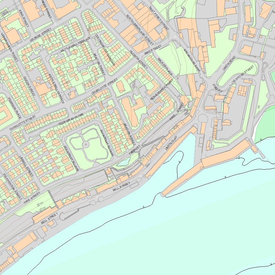
Map
National Grid Reference: NZ 36116 68451
The below map is for quick reference purposes only and may not be to scale. For a copy of the full scale map, please see the attached PDF - 1025356.pdf - Please be aware that it may take a few minutes for the download to complete.
© Crown Copyright and database right 2018. All rights reserved. Ordnance Survey Licence number 100024900.
© British Crown and SeaZone Solutions Limited 2018. All rights reserved. Licence number 102006.006.
This copy shows the entry on 12-Jul-2025 at 03:45:15.


