List Entry Summary
This monument is scheduled under the Ancient Monuments and Archaeological Areas Act 1979 as amended as it appears to the Secretary of State to be of national importance. This entry is a copy, the original is held by the Department for Culture, Media and Sport.
Name: Roman camp on Bootham Stray, 450m north east of Moor Farm
List Entry Number: 1019342
Location
The monument may lie within the boundary of more than one authority.
County:
District: York
District Type: Unitary Authority
Parish: Clifton Without
National Park: Not applicable to this List entry.
Grade: Not applicable to this List entry.
Date first scheduled: 17-May-1963
Date of most recent amendment: 05-Jan-2001
Legacy System Information
The contents of this record have been generated from a legacy data system.
Legacy System: RSM
UID: 30127
Asset Groupings
This List entry does not comprise part of an Asset Grouping. Asset Groupings are not part of the official record but are added later for information.
List Entry Description
Summary of Monument
Legacy Record - This information may be included in the List Entry Details.
Reasons for Designation
Roman camps are rectangular or sub-rectangular enclosures which were
constructed and used by Roman soldiers either when out on campaign or as
practice camps; most campaign camps were only temporary overnight bases and
few were used for longer periods. They were bounded by a single earthen
rampart and outer ditch and in plan are always straight-sided with rounded
corners. Normally they have between one and four entrances, although as many
as eleven have been recorded. Such entrances were usually centrally placed in
the sides of the camp and were often protected by additional defensive
outworks. Roman camps are found throughout much of England, although most
known examples lie in the midlands and north. Around 140 examples have been
identified and, as one of the various types of defensive enclosure built by
the Roman Army, particularly in hostile upland and frontier areas, they
provide an important insight into Roman military strategy and organisation.
All well-preserved examples are identified as being of national importance.
Whilst the Roman camp on Bootham Stray, 450m north east of Moor Farm is barely
identifiable above ground, archaeological investigations immediately to the
north of the protected area have confirmed that the Roman camp retains
archaeological information that will add to the understanding of such
monuments. The camp's importance is further enhanced by the survival of a
second camp 250m to the east, and by their proximity to the Roman fortress at
York, one of the main centres of Roman Britain. It is also one of only two of
an original group of up to eight camps to survive.
History
Legacy Record - This information may be included in the List Entry Details.
Details
The monument includes the buried and earthwork remains of a Roman army camp on
the north western margin of Bootham Stray. The remains of a second camp are
centred about 250m to the west and are the subject of a separate scheduling.
Both camps have been surveyed by the Royal Commission on the Historical
Monuments of England. This camp, 450m north east of Moor Farm, is the best
surviving example of a group of up to eight camps noted in the area by 18th
century antiquarians. It lies about 2.5km north of the site of Eburacum, the
Roman legionary fortress at York. The camp lies on level but low lying ground,
and because of their proximity to the fortress, the group have been
interpreted as practice camps for the Roman army. It is rectangular in plan,
approximately 150m north-south and 85m east-west, orientated to the NNW and
was defined by an earthwork bank and external `V'-shaped ditch. The northern
third of the camp is protected underneath a 0.6m thick blanket of soil laid in
1995 to form a football pitch. The southern two thirds of the camp, which lies
within the medieval common of Bootham Stray, demonstrates the best upstanding
earthwork survival within the area of the monument. This can be seen as a
perimeter bank 6m-7m wide and up to 0.3m high with a gate mid-way along the
south side. Gates at the mid point of both the north and eastern sides have
been identified from aerial photographs, although their form has been masked
by later activity. All the gates of the two camps appear to follow the same
design. If viewed from the centre of the camp, the bank on the left side of
the break forming the gateway is continued inwards to form a curved bank or
clavicula, the end of which lies opposite the end of the bank on the right
hand side. This is one of the designs that the Roman army employed to make
gateways more defensible in the event of a surprise attack. In 1952 a section
was cut across the southern defences of the camp, east of the gateway. This
revealed a bank of heavy clay 5.5m wide with an external `V'-shaped ditch 1.3m
wide and 1.2m deep, separated from the bank by a 0.4m wide berm.
All buildings and modern fencing as well as the top 0.3m of the football pitch
are excluded from the scheduling, although the ground beneath all these
features is included.
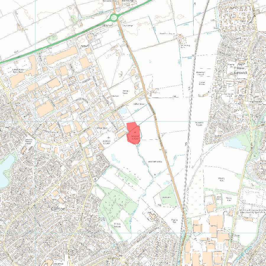
MAP EXTRACT
The site of the monument is shown on the attached map extract.
It includes a 10 metre boundary around the archaeological features,
considered to be essential for the monument's support and preservation.
Selected Sources
Books and journalsWelfare, H, Swan, V, Roman Camps in England: The Field Archaeology, (1995), Indexed
Map
National Grid Reference: SE 59874 54897
The below map is for quick reference purposes only and may not be to scale. For a copy of the full scale map, please see the attached PDF - 1019342.pdf - Please be aware that it may take a few minutes for the download to complete.
© Crown Copyright and database right 2018. All rights reserved. Ordnance Survey Licence number 100024900.
© British Crown and SeaZone Solutions Limited 2018. All rights reserved. Licence number 102006.006.
This copy shows the entry on 06-Jul-2025 at 04:01:55.


