List Entry Summary
This building is listed under the Planning (Listed Buildings and Conservation Areas) Act 1990 as amended for its special architectural or historic interest.
Name: TWO LODGES TO ROYAL EARLSWOOD HOSPITAL
List Entry Number: 1033356
Location
TWO LODGES TO ROYAL EARLSWOOD HOSPITAL, PRINCES ROAD
The building may lie within the boundary of more than one authority.
County: Surrey
District: Reigate and Banstead
District Type: District Authority
Parish: Non Civil Parish
National Park: Not applicable to this List entry.
Grade: II
Date first listed: 09-Dec-1998
Date of most recent amendment: Not applicable to this List entry.
Legacy System Information
The contents of this record have been generated from a legacy data system.
Legacy System: LBS
UID: 471791
Asset Groupings
This List entry does not comprise part of an Asset Grouping. Asset Groupings are not part of the official record but are added later for information.
List Entry Description
Summary of Building
Legacy Record - This information may be included in the List Entry Details.
Reasons for Designation
Legacy Record - This information may be included in the List Entry Details.
History
Legacy Record - This information may be included in the List Entry Details.
Details
TQ 24 NE REIGATE PRINCE'S ROAD
902/26/10006 Two lodges to Royal Earlswood
Hospital
II
2 matching lodges on opposing sides of the drive leading to Royal Earlswood Hospital (qv). Mid C19. Rendered brick with quoins at angles and openings which also have rusticated keystones. Slated gabled roofs with tall brick chimney stacks and projecting eaves with patterned bargeboards and finials. L-plan. 2 stories. Each with a gabled porch set in the angle facing the drive and a gable end with 1 sash at 1st floor and 2 narrower sashes at ground floor. Gable ends facing the road have 1 sash at 1st floor level and a canted bay window on the ground floor. Interiors not inspected.
Listing NGR: TQ2802848816
Selected Sources
Legacy Record - This information may be included in the List Entry Details
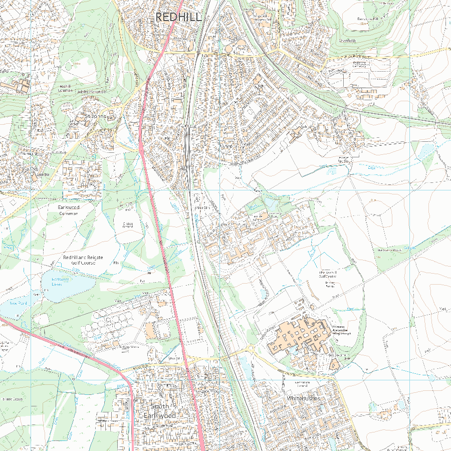
Map
National Grid Reference: TQ 28028 48816
The below map is for quick reference purposes only and may not be to scale. For a copy of the full scale map, please see the attached PDF - 1033356.pdf - Please be aware that it may take a few minutes for the download to complete.
© Crown Copyright and database right 2018. All rights reserved. Ordnance Survey Licence number 100024900.
© British Crown and SeaZone Solutions Limited 2018. All rights reserved. Licence number 102006.006.
This copy shows the entry on 28-Apr-2024 at 07:27:04.


