List Entry Summary
This building is listed under the Planning (Listed Buildings and Conservation Areas) Act 1990 as amended for its special architectural or historic interest.
Name: BURY FOLD
List Entry Number: 1072437
Location
BURY FOLD, 5-6, BURY ROAD
The building may lie within the boundary of more than one authority.
County:
District: Blackburn with Darwen
District Type: Unitary Authority
Parish: Darwen
National Park: Not applicable to this List entry.
Grade: II
Date first listed: 12-Jul-1978
Date of most recent amendment: Not applicable to this List entry.
Legacy System Information
The contents of this record have been generated from a legacy data system.
Legacy System: LBS
UID: 184683
Asset Groupings
This List entry does not comprise part of an Asset Grouping. Asset Groupings are not part of the official record but are added later for information.
List Entry Description
Summary of Building
Legacy Record - This information may be included in the List Entry Details.
Reasons for Designation
Legacy Record - This information may be included in the List Entry Details.
History
Legacy Record - This information may be included in the List Entry Details.
Details
SD 62 SE DARWEN BURY ROAD
4/12 Nos. 5 and 6 Bury Fold
12.7.1978
- II
Farmhouse, dated 1675, now 2 dwellings. Watershot coursed sandstone
rubble with quoins, roof now tiled and pantiled with 2 chimneys on
the ridge and one at left gable, and gable copings with kneelers
(except at left gable). Four-bay baffle-entry plan, two storeys, with
2½ storey porch to 2nd bay. Ground floor of porch has doorway offset
left with large lintel, a small rectangular window to the right, and
a very small peephole in the left side wall; 1st floor, which oversails,
has square moulded recess for datestone (replaced) over the door, an
elaborately moulded ogival-headed 5-light let floor window with moulded
mullions and a hoodmould, and above this a recessed window of 2 round-
headed lights similarly moulded, with a hoodmould: both these windows
have diamond leaded glazing. Left of the porch one 5-light window on
each floor, both formerly mullioned, the lower with a hoodmould, the
upper with stepped lights and hoodmould but lengthened downwards.
Modern 2-storey lean-to at left end covering a blocked 3-light window
which has hollow-chamfered mullions, and a former doorway with
chamfered surround. Rear and right end walls altered. Renovation in
progress at time of survey: 2-storey extension at right side of porch
demolished, exposing 2-light mullioned window lacking mullion, porch
to be taken down and rebuilt. Interior: 2nd bay has very large moulded
stone arch inglenook, and 2 stop-chamfered beams.
Listing NGR: SD6928220836
Selected Sources
Legacy Record - This information may be included in the List Entry Details
Map
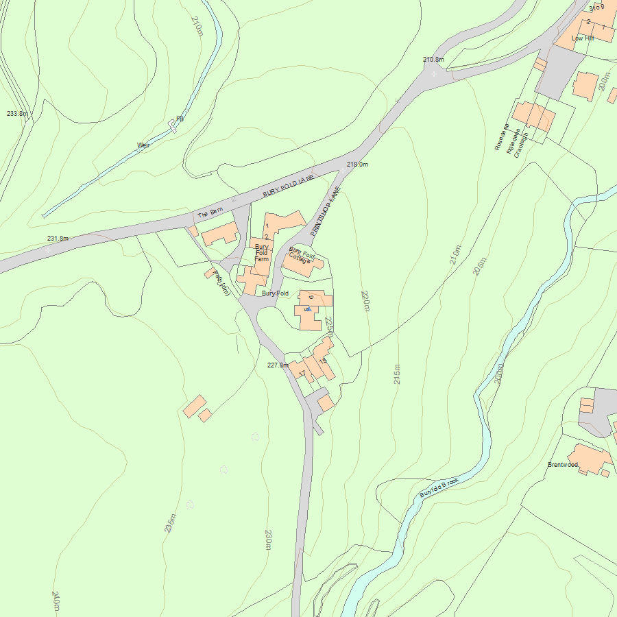
National Grid Reference: SD 69282 20836
The below map is for quick reference purposes only and may not be to scale. For a copy of the full scale map, please see the attached PDF - 1072437.pdf - Please be aware that it may take a few minutes for the download to complete.
© Crown Copyright and database right 2018. All rights reserved. Ordnance Survey Licence number 100024900.
© British Crown and SeaZone Solutions Limited 2018. All rights reserved. Licence number 102006.006.
This copy shows the entry on 03-Jul-2025 at 06:20:14.


