List Entry Summary
This building is listed under the Planning (Listed Buildings and Conservation Areas) Act 1990 as amended for its special architectural or historic interest.
Name: PARISH CHURCH OF ST MICHAEL AND ALL ANGELS
List Entry Number: 1079297
Location
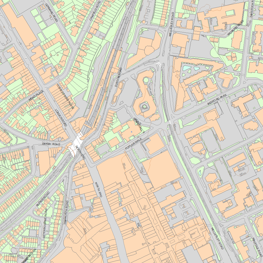
PARISH CHURCH OF ST MICHAEL AND ALL ANGELS, POPLAR WALK
The building may lie within the boundary of more than one authority.
County: Greater London Authority
District: Croydon
District Type: London Borough
Parish: Non Civil Parish
National Park: Not applicable to this List entry.
Grade: I
Date first listed: 20-May-1954
Date of most recent amendment: Not applicable to this List entry.
Legacy System Information
The contents of this record have been generated from a legacy data system.
Legacy System: LBS
UID: 201230
Asset Groupings
This List entry does not comprise part of an Asset Grouping. Asset Groupings are not part of the official record but are added later for information.
List Entry Description
Summary of Building
Legacy Record - This information may be included in the List Entry Details.
Reasons for Designation
Legacy Record - This information may be included in the List Entry Details.
History
Legacy Record - This information may be included in the List Entry Details.
Details
TQ 36 NW, 2/23
POPLAR WALK,
Parish Church of St Michael and All Angels
20.05.54
I
1880-5, by J L Pearson. A very good example of this architect's work. The interior
is brick and stone in C13 and C14 style, with lofty nave, aisles, choir and transepts,
vaulted throughout. Apsidal east end with ambulatory. Fort, canopied pulpit and
organ case by Bodley. Simpler brick exterior with stone dressings. Small square
spired towers flanking choir. Short spire over crossing. Entrance beneath large
brick tower, originally intended to be capped by a tall spire.
Listing NGR: TQ3226366068
Selected Sources
Legacy Record - This information may be included in the List Entry Details
Map
National Grid Reference: TQ 32263 66068
The below map is for quick reference purposes only and may not be to scale. For a copy of the full scale map, please see the attached PDF - 1079297.pdf - Please be aware that it may take a few minutes for the download to complete.
© Crown Copyright and database right 2018. All rights reserved. Ordnance Survey Licence number 100024900.
© British Crown and SeaZone Solutions Limited 2018. All rights reserved. Licence number 102006.006.
This copy shows the entry on 15-Jul-2025 at 09:39:11.


