List Entry Summary
This building is listed under the Planning (Listed Buildings and Conservation Areas) Act 1990 as amended for its special architectural or historic interest.
Name: BECKFORD HALL
List Entry Number: 1081638
Location
BECKFORD HALL, MAIN STREET
The building may lie within the boundary of more than one authority.
County: Worcestershire
District: Wychavon
District Type: District Authority
Parish: Beckford
National Park: Not applicable to this List entry.
Grade: II
Date first listed: 30-Jul-1959
Date of most recent amendment: Not applicable to this List entry.
Legacy System Information
The contents of this record have been generated from a legacy data system.
Legacy System: LBS
UID: 148498
Asset Groupings
This List entry does not comprise part of an Asset Grouping. Asset Groupings are not part of the official record but are added later for information.
List Entry Description
Summary of Building
Legacy Record - This information may be included in the List Entry Details.
Reasons for Designation
Legacy Record - This information may be included in the List Entry Details.
History
Legacy Record - This information may be included in the List Entry Details.
Details
BECKFORD CP MAIN STREET (north side)
SO 9635 - 9735
13/46 12/2 Beckford Hall
30-7-59
GV II
Priory, rebuilt as house, now divided into five dwellings. Circa 1128,
rebuilt early C17, altered and extended mid-C19. Coursed dressed limestone
rubble and limestone ashlar with ashlar dressings. Plain tiled, multi-gabled
roof behind parapet with large ashlar stacks to rear of main ridge. Two
storeys, attic and cellar with dripmoulds. Seven bays. Windows on main
floors are all 3-light chamfered mullion and transom type. Attic storey
has seven gabled dormers with parapets, 2-light mullioned windows and
hood moulds. There are skylights between each dormer. Central gabled porch
with tall parapet and ornate corner finials. It has a moulded plinth and a
central doorway with a 4-centred head, moulded relief decoration in the
spandrels and flanking rectangular leaded lights. Above the doorway set in
the parapet is an inscription panel with a strapwork surround and surmounted
by a pediment formed by the gable apex of the roof. On the panel is written
"NISI: CRUCE: MUNIT: HOMO:/ NULLA: SOLUS: EST: IN: DOMO". There is a relief
of a cross on the shield contained within the pediment. The side elevations
of the porch have large rectangular lights and the porch is approached by a
flight of six steps. There is a C19 addition to the left side of three storeys
with a moulded eaves cornice and two bays. The left bay projects as a shallow
full-height gabled wing and has a 5-light mullioned window on each floor, the
ground floor window having two transoms and the upper storey windows having a
single transom. There are rectangular lights on each floor in the angle with
the main part. The right bay also has a rectangular light on each floor (two
on the first floor). The building has extensive additions to the rear, mainly
of C19 date and similarly detailed. The south elevation incorporates a central
square tower with an embattled parapet and oriel window on the first floor.
There is a former C19 chapel to the north-east side of the building which
has large pointed windows with Perpendicular tracery; at its north gable end
there is a figure of a bishop (?) set within an ogee-arched, crocketted and
finialed niche flanked by slender pilaster buttresses with crocketted pinnacles.
Interior: there is a large open well staircase with turned balusters and ornate
foliated carving to the rear of the main C17 range. The south-east end of the
building is said to be built above the C12 vaulted crypt and a ground floor
room also in this part of the building is said to have an elaborately carved
ceiling with naturalistic detailing. The chapel is said to retain its painted
ceiling. The house stands on the site of a priory of Augustinian canons founded
in 1128. In the C16 it became the seat of the Wakeman family and was completely
rebuilt. During the C20 it was used as a theological college until 1975.
(BoE, p 77).
Listing NGR: SO9765235917
Selected Sources
Books and journalsPevsner, N, The Buildings of England: Worcestershire, (1968), 77
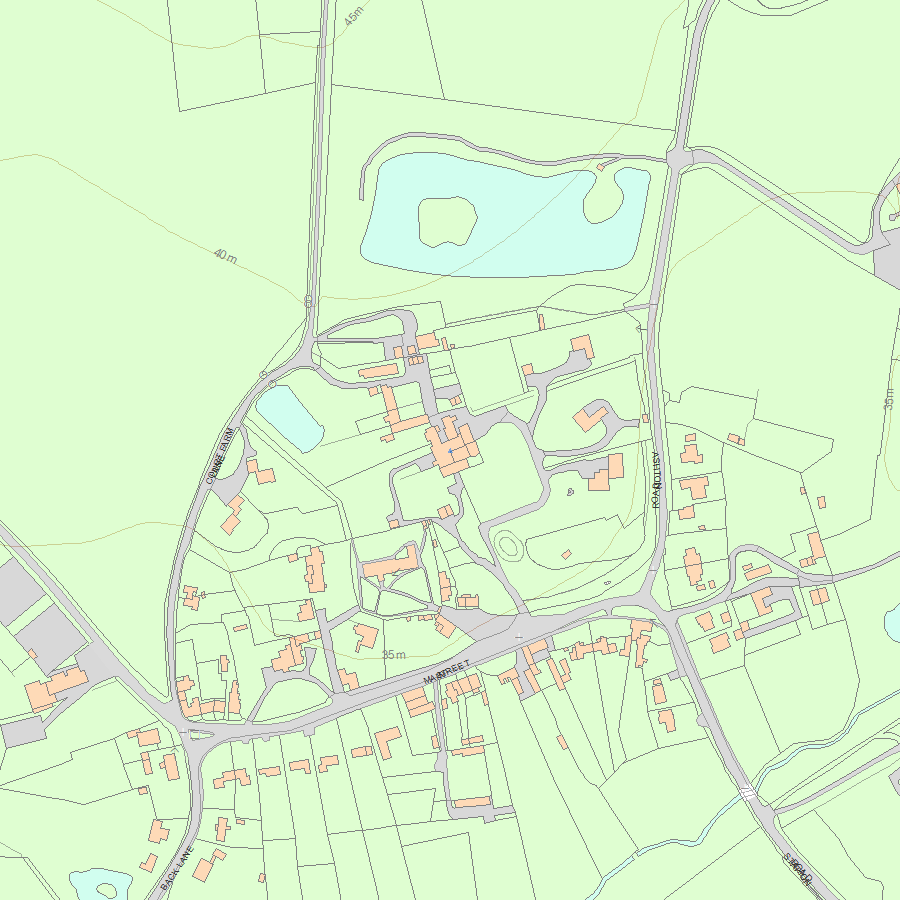
Map
National Grid Reference: SO 97652 35917
The below map is for quick reference purposes only and may not be to scale. For a copy of the full scale map, please see the attached PDF - 1081638.pdf - Please be aware that it may take a few minutes for the download to complete.
© Crown Copyright and database right 2018. All rights reserved. Ordnance Survey Licence number 100024900.
© British Crown and SeaZone Solutions Limited 2018. All rights reserved. Licence number 102006.006.
This copy shows the entry on 30-Apr-2024 at 04:15:29.


