List Entry Summary
This building is listed under the Planning (Listed Buildings and Conservation Areas) Act 1990 as amended for its special architectural or historic interest.
Name: TADLEY UNITED REFORM CHURCH
List Entry Number: 1092441
Location
TADLEY UNITED REFORM CHURCH, MALTHOUSE LANE
The building may lie within the boundary of more than one authority.
County: Hampshire
District: Basingstoke and Deane
District Type: District Authority
Parish: Tadley
National Park: Not applicable to this List entry.
Grade: II
Date first listed: 18-May-1984
Date of most recent amendment: Not applicable to this List entry.
Legacy System Information
The contents of this record have been generated from a legacy data system.
Legacy System: LBS
UID: 138305
Asset Groupings
This List entry does not comprise part of an Asset Grouping. Asset Groupings are not part of the official record but are added later for information.
List Entry Description
Summary of Building
Legacy Record - This information may be included in the List Entry Details.
Reasons for Designation
Legacy Record - This information may be included in the List Entry Details.
History
Legacy Record - This information may be included in the List Entry Details.
Details
SU 66 SW TADLEY MALTHOUSE LANE
5/4
Tadley United Reform
Church
II
C18, early C19, mid C19, C20. The oldest, largest unit is a rectangular block with a half-hipped tile roof, brick and rendered walls, mullioned and transomed windows, and a plain modern gabled porch. The extension of the second date (1828) has a slate roof and 2 arched windows, to produce with the old block a single interior. A lower plain brick and tile attachment on the west end is a Sunday school of 1862. Small later additions at the rear. Within, there is a gallery, with panelled front, on 3 sides, extended in the second period, when the intervening wall was removed and the valley supported on 2 columns.
Selected Sources
Legacy Record - This information may be included in the List Entry Details
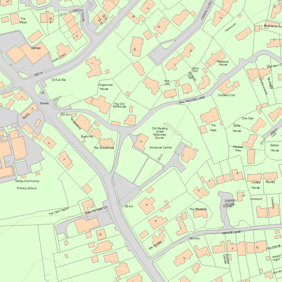
Map
National Grid Reference: SU 60586 60896
The below map is for quick reference purposes only and may not be to scale. For a copy of the full scale map, please see the attached PDF - 1092441.pdf - Please be aware that it may take a few minutes for the download to complete.
© Crown Copyright and database right 2018. All rights reserved. Ordnance Survey Licence number 100024900.
© British Crown and SeaZone Solutions Limited 2018. All rights reserved. Licence number 102006.006.
This copy shows the entry on 12-Jul-2025 at 04:45:33.


