List Entry Summary
This building is listed under the Planning (Listed Buildings and Conservation Areas) Act 1990 as amended for its special architectural or historic interest.
Name: ELVET BRIDGE
List Entry Number: 1121355
Location
ELVET BRIDGE, RIVER WEAR
The building may lie within the boundary of more than one authority.
County:
District: County Durham
District Type: Unitary Authority
Parish: City of Durham
National Park: Not applicable to this List entry.
Grade: I
Date first listed: 06-May-1952
Date of most recent amendment: Not applicable to this List entry.
Legacy System Information
The contents of this record have been generated from a legacy data system.
Legacy System: LBS
UID: 110443
Asset Groupings
This List entry does not comprise part of an Asset Grouping. Asset Groupings are not part of the official record but are added later for information.
List Entry Description
Summary of Building
Legacy Record - This information may be included in the List Entry Details.
Reasons for Designation
Legacy Record - This information may be included in the List Entry Details.
History
Legacy Record - This information may be included in the List Entry Details.
Details
DURHAM AND FRAMWELLGATE RIVER WEAR
NZ 2742 SE
15/388 Elvet Bridge
6/5/52
GV I
Bridge. Early C13 incorporating one arch of late C12 work. Central 3 arches
renewed after 1771 flood; north side (upstream) doubled in width in 1804-5.
Coursed squared sandstone with ashlar dressings. 7 river arches, 2 land arches
on west and one on east. East arch stepped southwards is round and chamfered;
other south arches are double-chamfered and 2-centred, with 5 ribs of which
the outer is chamfered; northern extension has cutwaters alternately sloping-
topped and hipped, flanking 2-centred arches. Hipped south cutwaters. Band at
road bed level; parapet with low rounded coping; stone steps alongside on north
side at west end. 2 west land arches are beneath present road; the easternmost
of them adapted as house of correction in 1632 has iron grilles over boarded
doors. South-east arch surpported medieval chapel of St. Andrew, of which part
may survive under No. 97 Elvet Bridge (q.v.).
A scheduled ancient monument.
Listing NGR: NZ2753642424
Selected Sources
Legacy Record - This information may be included in the List Entry Details
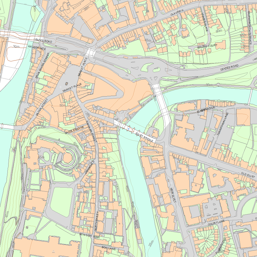
Map
National Grid Reference: NZ 27536 42424
The below map is for quick reference purposes only and may not be to scale. For a copy of the full scale map, please see the attached PDF - 1121355.pdf - Please be aware that it may take a few minutes for the download to complete.
© Crown Copyright and database right 2018. All rights reserved. Ordnance Survey Licence number 100024900.
© British Crown and SeaZone Solutions Limited 2018. All rights reserved. Licence number 102006.006.
This copy shows the entry on 12-Jul-2025 at 02:55:04.


