List Entry Summary
This building is listed under the Planning (Listed Buildings and Conservation Areas) Act 1990 as amended for its special architectural or historic interest.
Name: THE LOBSTER SMACK PUBLIC HOUSE
List Entry Number: 1123685
Location
THE LOBSTER SMACK PUBLIC HOUSE, HAVEN ROAD
The building may lie within the boundary of more than one authority.
County: Essex
District: Castle Point
District Type: District Authority
Parish: Canvey Island
National Park: Not applicable to this List entry.
Grade: II
Date first listed: 03-Nov-1972
Date of most recent amendment: Not applicable to this List entry.
Legacy System Information
The contents of this record have been generated from a legacy data system.
Legacy System: LBS
UID: 116821
Asset Groupings
This List entry does not comprise part of an Asset Grouping. Asset Groupings are not part of the official record but are added later for information.
List Entry Description
Summary of Building
Legacy Record - This information may be included in the List Entry Details.
Reasons for Designation
Legacy Record - This information may be included in the List Entry Details.
History
Legacy Record - This information may be included in the List Entry Details.
Details
CANVEY ISLAND HAVEN ROAD
TQ 78 SE
3/3 The Lobster Smack
Public House
3-11-72
- II
Public house. Probably originally C17 but now mainly C18 and C19 with C20 rear
additions and alterations. Timber framed and weatherboarded with some painted
brick to ground floor. Red plain tiled roof. Off centre left and right
external chimney stacks. A long building of 2 storeys. 5 window range of
vari-light casements with glazing bars, one to ground floor a 3 light bay.
Central and right lean-to porches. 3 vertically boarded doors. This building
is one of the very few on the Island of this period.
Listing NGR: TQ7724482229
Selected Sources
Legacy Record - This information may be included in the List Entry Details
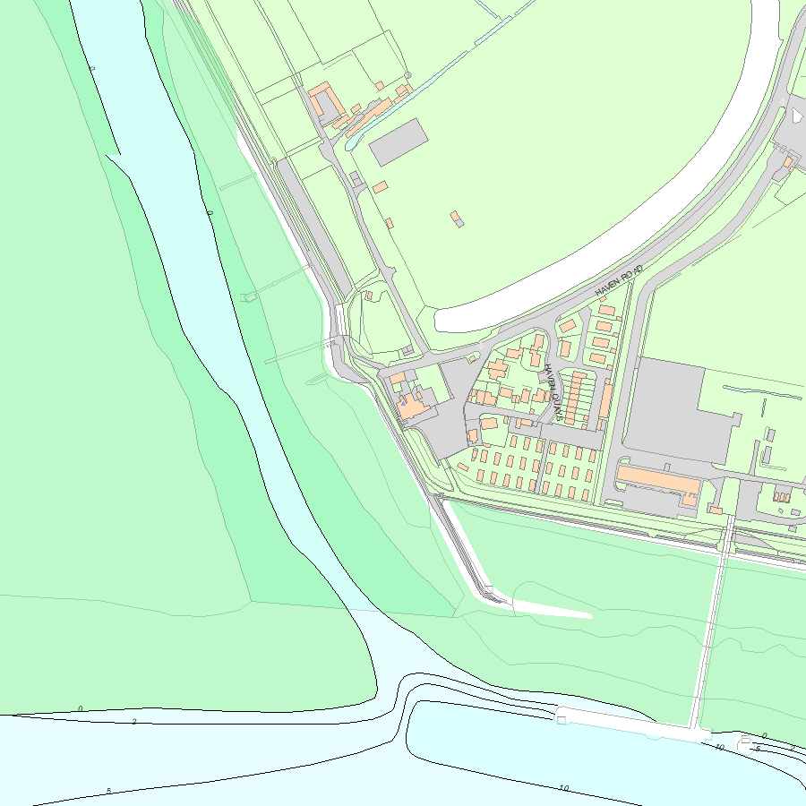
Map
National Grid Reference: TQ 77244 82229
The below map is for quick reference purposes only and may not be to scale. For a copy of the full scale map, please see the attached PDF - 1123685.pdf - Please be aware that it may take a few minutes for the download to complete.
© Crown Copyright and database right 2018. All rights reserved. Ordnance Survey Licence number 100024900.
© British Crown and SeaZone Solutions Limited 2018. All rights reserved. Licence number 102006.006.
This copy shows the entry on 19-Jul-2025 at 05:32:31.


