List Entry Summary
This building is listed under the Planning (Listed Buildings and Conservation Areas) Act 1990 as amended for its special architectural or historic interest.
Name: GOVER RAILWAY VIADUCT INCLUDING PIERS TO NORTH
List Entry Number: 1136662
Location
GOVER RAILWAY VIADUCT INCLUDING PIERS TO NORTH
The building may lie within the boundary of more than one authority.
County:
District: Cornwall
District Type: Unitary Authority
Parish: St. Mewan
National Park: Not applicable to this List entry.
Grade: II
Date first listed: 20-Dec-1988
Date of most recent amendment: Not applicable to this List entry.
Legacy System Information
The contents of this record have been generated from a legacy data system.
Legacy System: LBS
UID: 71422
Asset Groupings
This List entry does not comprise part of an Asset Grouping. Asset Groupings are not part of the official record but are added later for information.
List Entry Description
Summary of Building
Legacy Record - This information may be included in the List Entry Details.
Reasons for Designation
Legacy Record - This information may be included in the List Entry Details.
History
Legacy Record - This information may be included in the List Entry Details.
Details
SW 95 SE
4/81
ST MEWAN
Gover Railway Viaduct including piers to north
II
Railway viaduct over the Gover Valley on the St Austell - Truro line. The first
viaduct was built in 1859; the piers of this viaduct remain, running parallel on the
north side of the later viaduct, of 1898. The 1859 piers are in stone rubble. The
1898 viaduct is in granite rubble with brick arches and parapet. The 1859 piers are
of rectangular plan, battered, with weathered buttresses. The 1898 viaduct has 8
round arches, with piers of rectangular plan, corbelled and battered. The arches have
brick dressings and brick parapet.
The Glover viaduct has great landscape value. The eastern half of the viaduct is in
St Austell with Fowey district.
Listing NGR: SW9987352987
Selected Sources
Legacy Record - This information may be included in the List Entry Details
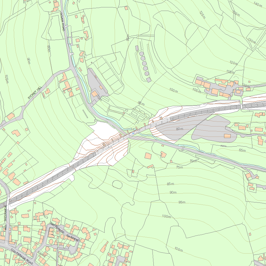
Map
National Grid Reference: SW9987352987
The below map is for quick reference purposes only and may not be to scale. For a copy of the full scale map, please see the attached PDF - 1136662.pdf - Please be aware that it may take a few minutes for the download to complete.
© Crown Copyright and database right 2018. All rights reserved. Ordnance Survey Licence number 100024900.
© British Crown and SeaZone Solutions Limited 2018. All rights reserved. Licence number 102006.006.
This copy shows the entry on 12-Jul-2025 at 08:40:36.


