List Entry Summary
This building is listed under the Planning (Listed Buildings and Conservation Areas) Act 1990 as amended for its special architectural or historic interest.
Name: PENADLAKE VIADUCT
List Entry Number: 1136794
Location
PENADLAKE VIADUCT
The building may lie within the boundary of more than one authority.
County:
District: Cornwall
District Type: Unitary Authority
Parish: Braddock
National Park: Not applicable to this List entry.
Grade: II
Date first listed: 30-Apr-1985
Date of most recent amendment: Not applicable to this List entry.
Legacy System Information
The contents of this record have been generated from a legacy data system.
Legacy System: LBS
UID: 60525
Asset Groupings
This List entry does not comprise part of an Asset Grouping. Asset Groupings are not part of the official record but are added later for information.
List Entry Description
Summary of Building
Legacy Record - This information may be included in the List Entry Details.
Reasons for Designation
Legacy Record - This information may be included in the List Entry Details.
History
Legacy Record - This information may be included in the List Entry Details.
Details
SX 16 NW BRADOC
1/24 and 3/24 Penadlake Viaduct
-
- II
Railway viaduct, 1877, built to replace I.K.Brunel's earlier tresselled timber
viaduct opened in 1859. 7 tapering piers approximately 40 foot clear span of massive
snecked rock faced slatestone carrying 8 semicircular arches with dressed rusticated
granite voussoirs and quoins. Parapet partly rebuilt. Rusticated stone coping with
simple refuges. Slightly curved on plan.
One of series of viaducts in quick succession on Brunel's Plymouth to Truro
Cornwall Railway broad gauge line (q.v. Clinnick, Derricombe, East Largin, West Largin
and St Pinnock Viaducts). Line opened in 1859.
A Pugsley (ed) The Works of I K Brunel 1976 and 1980.
R J Woodfin The Cornwall Railway 1972.
Listing NGR: SX1519263442
Selected Sources
Books and journalsPugsley, A, The Works of Isambard Kingdom Brunel, (1976)
Woodfin, R J , The Cornwall Railway, (1972)
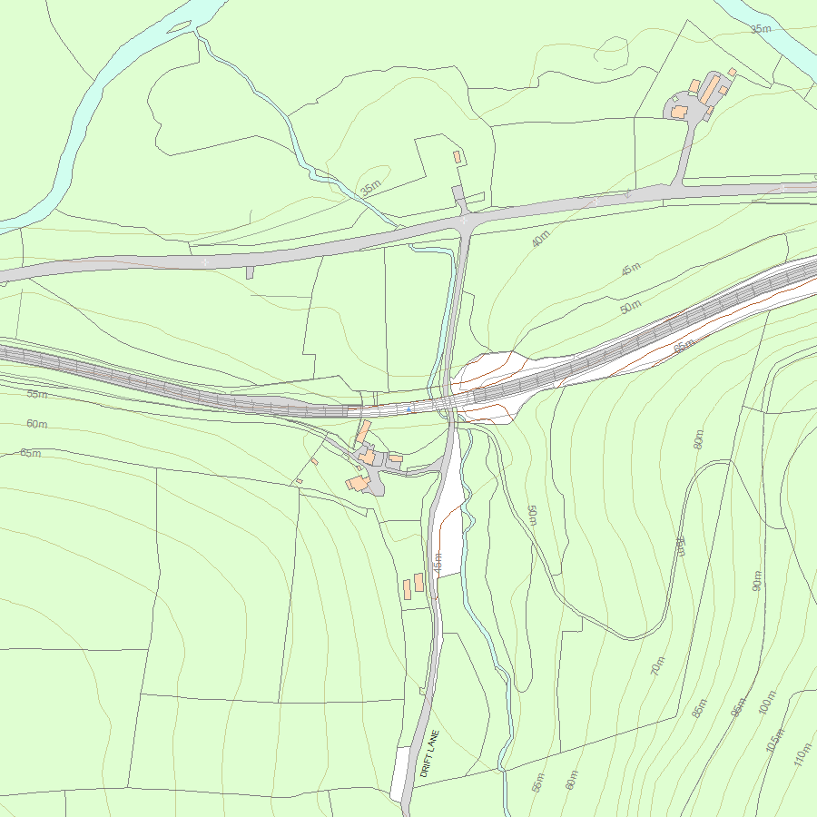
Map
National Grid Reference: SX 13553 64998
The below map is for quick reference purposes only and may not be to scale. For a copy of the full scale map, please see the attached PDF - 1136794.pdf - Please be aware that it may take a few minutes for the download to complete.
© Crown Copyright and database right 2018. All rights reserved. Ordnance Survey Licence number 100024900.
© British Crown and SeaZone Solutions Limited 2018. All rights reserved. Licence number 102006.006.
This copy shows the entry on 12-Jul-2025 at 10:18:54.


