List Entry Summary
This building is listed under the Planning (Listed Buildings and Conservation Areas) Act 1990 as amended for its special architectural or historic interest.
Name: ST PINNOCK VIADUCT
List Entry Number: 1137633
Location
ST PINNOCK VIADUCT
The building may lie within the boundary of more than one authority.
County:
District: Cornwall
District Type: Unitary Authority
Parish: St. Pinnock
National Park: Not applicable to this List entry.
Grade: II
Date first listed: 30-Apr-1985
Date of most recent amendment: Not applicable to this List entry.
Legacy System Information
The contents of this record have been generated from a legacy data system.
Legacy System: LBS
UID: 60601
Asset Groupings
This List entry does not comprise part of an Asset Grouping. Asset Groupings are not part of the official record but are added later for information.
List Entry Description
Summary of Building
Legacy Record - This information may be included in the List Entry Details.
Reasons for Designation
Legacy Record - This information may be included in the List Entry Details.
History
Legacy Record - This information may be included in the List Entry Details.
Details
SX 16 SE ST PINNOCK
4/100 St Pinnock Viaduct
-
- II
Railway Viaduct, 1854-5 by I K Brunel. Heightened in 1882. 7 piers of roughly
dressed, coursed slatestone from Westwood quarry. At 60 foot approx. centres. Each
consisting of 8 buttresses with weatherings rising to form 5 stages with pointed
openings piercing the 4 upper stages. Batter of about 1 in 100. In 1882 the piers
were heightened with a slightly cruder, tapering, sixth stage and iron girders were
used to replace Brunel's timber trestles.
The 2 track railroad of 1882 and later carried on rivetted plate steel girders
with steel guardrails and refuges to the north side.
633 feet in length and 151 feet in height, the tallest viaduct in Cornwall.
One of a series of viaducts in quick succession on Brunel's Plymouth to Truro GWR
line, opened in 1859.
A Todd & P Laws Industrial Archaeology of Cornwall, 1972
A Pugsley (ed) The Works of I K Brunel 1980
R J Woodfin The Cornwall Railway 1972
Listing NGR: SX1980162658
Selected Sources
Books and journalsPugsley, A, The Works of Isambard Kingdom Brunel, (1980)
Todd, , Laws, , Industrial Archaeology of Cornwall, (1972)
Woodfin, R J , The Cornwall Railway, (1972)
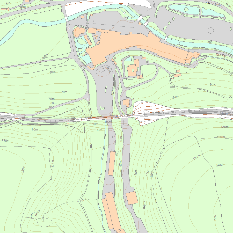
Map
National Grid Reference: SX 17774 64625
The below map is for quick reference purposes only and may not be to scale. For a copy of the full scale map, please see the attached PDF - 1137633.pdf - Please be aware that it may take a few minutes for the download to complete.
© Crown Copyright and database right 2018. All rights reserved. Ordnance Survey Licence number 100024900.
© British Crown and SeaZone Solutions Limited 2018. All rights reserved. Licence number 102006.006.
This copy shows the entry on 02-Jul-2025 at 02:04:45.


