List Entry Summary
This building is listed under the Planning (Listed Buildings and Conservation Areas) Act 1990 as amended for its special architectural or historic interest.
Name: CHURCH OF ST SAVIOUR
List Entry Number: 1147377
Location
CHURCH OF ST SAVIOUR, STYDD
The building may lie within the boundary of more than one authority.
County: Lancashire
District: Ribble Valley
District Type: District Authority
Parish: Dutton
National Park: Not applicable to this List entry.
Grade: I
Date first listed: 11-Nov-1966
Date of most recent amendment: Not applicable to this List entry.
Legacy System Information
The contents of this record have been generated from a legacy data system.
Legacy System: LBS
UID: 182999
Asset Groupings
This List entry does not comprise part of an Asset Grouping. Asset Groupings are not part of the official record but are added later for information.
List Entry Description
Summary of Building
Legacy Record - This information may be included in the List Entry Details.
Reasons for Designation
Legacy Record - This information may be included in the List Entry Details.
History
Legacy Record - This information may be included in the List Entry Details.
Details
SD 63 NE DUTTON STYDD
8/112 Church of St. Saviour
11.11.66
GV I
Church, late C12th with later alterations. Sandstone rubble with
stone slate roof. Comprises a single range with angle buttresses and
an open gabled south-west porch of late date. The south wall has 2
Perpendicular windows, double-chamfered with straight heads and 3 lights.
The left-hand one has round heads to the lights, the right-hand one has
ogee heads with cusps. Between them is a chamfered lancet with hood,
wider towards the bottom. At the west end, now within the porch, is
a doorway of early C13th date having a 2-centred arch of 2 moulded orders,
moulded imposts, and angle shafts with capitals which include some
waterleaf carving. The outer shaft on the east side is now missing.
The studded plank door remains. The east wall has a 3-light window with
intersecting tracery. The west wall has a 2-light window with y-tracery.
High up to its right is a blocked chamfered doorway with pointed head,
probably once leading to a timber gallery inside the church. The north
wall has 2 narrow chamfered lights, with hoods, probably C12th. Between
them is a chamfered doorway with round head and a hood with zigzag
decoration, probably restored. Interior. The nave is divided from the
sanctuary by a C17th screen of square panels surmounted by turned
balusters. At its southern end is an octagonal pulpit, also of square
panels, raised on a stone base. In the south wall of the sanctuary is
a piscina with cusped head. Set into the stone flag floor are grave covers,
including a C14th double sepulchral stone with 2 floriated crosses and
inscriptions. The open timber roof has 7 trusses with short king posts
rising off collars. Trusses 2 and 5, from the west, have tie beams, with
carved central bosses. The purlins have straight windbraces running in all
4 directions. The early Cl6th sandstone font is octagonal, with its
carving well preserved. On each side of the bowl is a shield, bearing
heraldic and other devices. V.C.H. Vol. 7, pp. 60-61.
Listing NGR: SD6538735979
Selected Sources
Books and journalsFarrer, W, Brownbill, J, The Victoria History of the County of Lancaster, (1912), 60-61
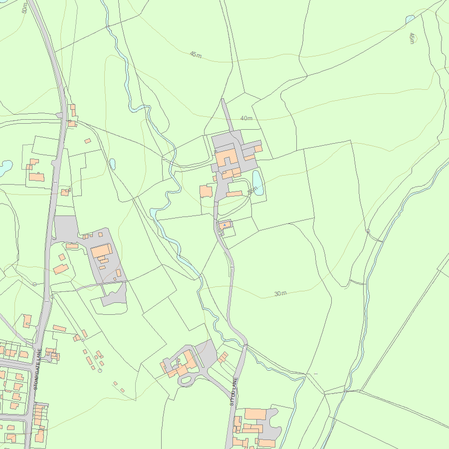
Map
National Grid Reference: SD 65384 35981
The below map is for quick reference purposes only and may not be to scale. For a copy of the full scale map, please see the attached PDF - 1147377.pdf - Please be aware that it may take a few minutes for the download to complete.
© Crown Copyright and database right 2018. All rights reserved. Ordnance Survey Licence number 100024900.
© British Crown and SeaZone Solutions Limited 2018. All rights reserved. Licence number 102006.006.
This copy shows the entry on 20-Apr-2024 at 09:45:57.


