List Entry Summary
This building is listed under the Planning (Listed Buildings and Conservation Areas) Act 1990 as amended for its special architectural or historic interest.
Name: CHURCH OF ALL SAINTS
List Entry Number: 1150240
Location
CHURCH OF ALL SAINTS, RUDBY BANK
The building may lie within the boundary of more than one authority.
County:
District: North Yorkshire
District Type: Unitary Authority
Parish: Rudby
National Park: Not applicable to this List entry.
Grade: I
Date first listed: 23-Jun-1966
Date of most recent amendment: Not applicable to this List entry.
Legacy System Information
The contents of this record have been generated from a legacy data system.
Legacy System: LBS
UID: 331931
Asset Groupings
This List entry does not comprise part of an Asset Grouping. Asset Groupings are not part of the official record but are added later for information.
List Entry Description
Summary of Building
Legacy Record - This information may be included in the List Entry Details.
Reasons for Designation
Legacy Record - This information may be included in the List Entry Details.
History
Legacy Record - This information may be included in the List Entry Details.
Details
NZ 40 NE RUDBY RUDBY BANK
7/48
23.6.66 Church of All Saints
I
Early C14 nave and south aisle, the aisle extended westward and south tower porch
added in C15. Chancel also C14 but partly rebuilt in C18. Restoration of 1892
replaced most of the windows but for one in North aisle and large west window. Oak
barreled roof of 1923-4.
Ashlar. Graduated Welsh slate roof. Tower of 3 stages with diagonal buttresses,
battlemented parapet and corner pinnacles.
Interior shows inlaid C16 pulpit with memorial stone to donor, Thomas Milner; C14
relief tomb slab of priest in trefoiled recess in South aisle; C18 and early C19
memorial tablets to Cary family in chancel; and handsome oak benches mainly of 1923-4
but reproducing C17 benches in south aisle; C12 font base with arms of Conyers.
Listing NGR: NZ4718306666
Selected Sources
Legacy Record - This information may be included in the List Entry Details
Map
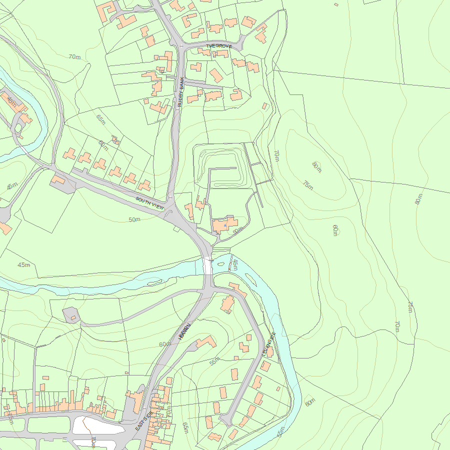
National Grid Reference: NZ 47192 06666
The below map is for quick reference purposes only and may not be to scale. For a copy of the full scale map, please see the attached PDF - 1150240.pdf - Please be aware that it may take a few minutes for the download to complete.
© Crown Copyright and database right 2018. All rights reserved. Ordnance Survey Licence number 100024900.
© British Crown and SeaZone Solutions Limited 2018. All rights reserved. Licence number 102006.006.
This copy shows the entry on 21-May-2024 at 02:43:23.


