List Entry Summary
This building is listed under the Planning (Listed Buildings and Conservation Areas) Act 1990 as amended for its special architectural or historic interest.
Name: COLUMN APPROXIMATELY TEN METRES SOUTH OF THE BUNGALOW
List Entry Number: 1150280
Location
COLUMN APPROXIMATELY TEN METRES SOUTH OF THE BUNGALOW, B6265
The building may lie within the boundary of more than one authority.
County:
District: North Yorkshire
District Type: Unitary Authority
Parish: Great Ouseburn
National Park: Not applicable to this List entry.
Grade: II
Date first listed: 12-Dec-1988
Date of most recent amendment: Not applicable to this List entry.
Legacy System Information
The contents of this record have been generated from a legacy data system.
Legacy System: LBS
UID: 331823
Asset Groupings
This List entry does not comprise part of an Asset Grouping. Asset Groupings are not part of the official record but are added later for information.
List Entry Description
Summary of Building
Legacy Record - This information may be included in the List Entry Details.
Reasons for Designation
Legacy Record - This information may be included in the List Entry Details.
History
Legacy Record - This information may be included in the List Entry Details.
Details
SE 46 SW
3/8
GREAT OUSEBURN
B6265
(north-east side,off),
Ouse Gill
Column approximately ten metres south of The Bungalow
II
Monumental milestone. C18. Sandstone. Tuscan column raised on two
square steps. Cubic block inserted in shaft of column, inscribed:
West face Ouse Gill Spring South face Boroughbridge 4 miles East face Ouse River Head North face YORK 13 miles
Column originally supported stone sphere and iron weathervane. Erected to
mark the source of the Ouse Gill Beck which flows into the River Ouse
approximately 4.5 km. to the south east. S.Broadhead, Portrait of the
Yorkshire Ouse, p.17.
Listing NGR: SE4357261691
Selected Sources
Books and journalsBroadhead, S, Portrait of the Yorkshire Ouse17
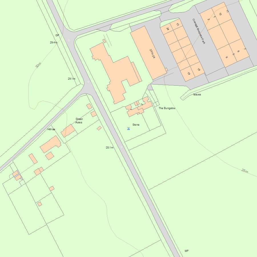
Map
National Grid Reference: SE4357261691
The below map is for quick reference purposes only and may not be to scale. For a copy of the full scale map, please see the attached PDF - 1150280.pdf - Please be aware that it may take a few minutes for the download to complete.
© Crown Copyright and database right 2018. All rights reserved. Ordnance Survey Licence number 100024900.
© British Crown and SeaZone Solutions Limited 2018. All rights reserved. Licence number 102006.006.
This copy shows the entry on 02-Jul-2025 at 12:36:03.


