List Entry Summary
This building is listed under the Planning (Listed Buildings and Conservation Areas) Act 1990 as amended for its special architectural or historic interest.
Name: St.Mary's Churchyard walls and cross
List Entry Number: 1150285
Location
St.Mary's Churchyard walls and cross, Main Street
The building may lie within the boundary of more than one authority.
County:
District: North Yorkshire
District Type: Unitary Authority
Parish: Great Ouseburn
National Park: Not applicable to this List entry.
Grade: II
Date first listed: 12-Dec-1988
Date of most recent amendment: Not applicable to this List entry.
Legacy System Information
The contents of this record have been generated from a legacy data system.
Legacy System: LBS
UID: 331831
Asset Groupings
This List entry does not comprise part of an Asset Grouping. Asset Groupings are not part of the official record but are added later for information.
List Entry Description
Summary of Building
Legacy Record - This information may be included in the List Entry Details.
Reasons for Designation
Legacy Record - This information may be included in the List Entry Details.
History
Legacy Record - This information may be included in the List Entry Details.
Details
This list entry was subject to a Minor Amendment on 28 September 2021 to remove superfluous amendment details and to reformat the text to current standards
SE 4461-4561
9/16
GREAT OUSEBURN
MAIN STREET (north-east side)
St.Mary's Churchyard walls and cross
GV
II
Walls partly enclosing St.Mary's churchyard and incorporating base and part of cross shaft. Medieval cross in C18-early C19 wall. Limestone cross; walling partly cobble with brick lacing courses, and partly red brick in Flemish bond with sandstone coping. Serpentine walls, ramped up to square section piers, form churchyard entrance. Walls have flat coping and piers pyramidal caps. Part of cross located approximately ten metres south-east of entrance: octagonal shafting set in square socket stone. Cobble walls, ramped up in places, have cambered coping. Wall on south-east side of Churchyard forms one side of the ginnel known as Tom Hill, which is closed on the other side by the garden wall of Church Hill Farm House (q.v.).
Listing NGR: SE4489561772
Selected Sources
Legacy Record - This information may be included in the List Entry Details
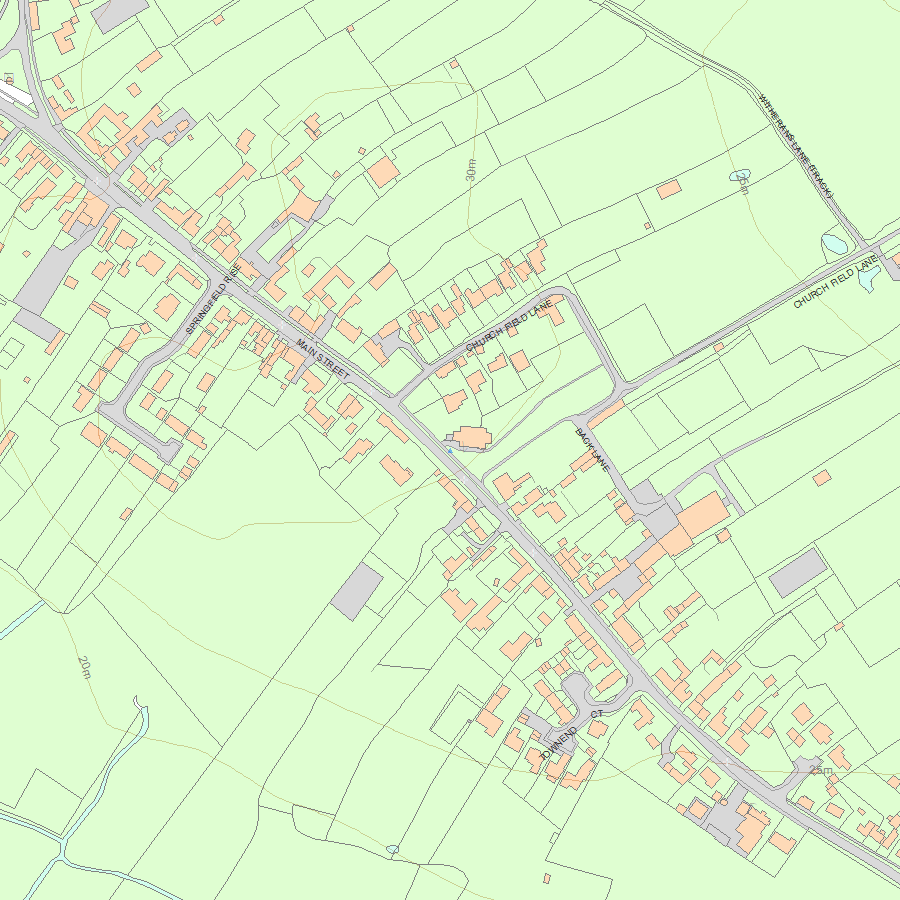
Map
National Grid Reference: SE 44895 61772
The below map is for quick reference purposes only and may not be to scale. For a copy of the full scale map, please see the attached PDF - 1150285.pdf - Please be aware that it may take a few minutes for the download to complete.
© Crown Copyright and database right 2018. All rights reserved. Ordnance Survey Licence number 100024900.
© British Crown and SeaZone Solutions Limited 2018. All rights reserved. Licence number 102006.006.
This copy shows the entry on 02-Jul-2025 at 06:33:05.


