List Entry Summary
This building is listed under the Planning (Listed Buildings and Conservation Areas) Act 1990 as amended for its special architectural or historic interest.
Name: GARDEN WALL APPROXIMATELY FIVE METRES NORTH WEST OF CHURCH HILL FARM HOUSE
List Entry Number: 1150286
Location
GARDEN WALL APPROXIMATELY FIVE METRES NORTH WEST OF CHURCH HILL FARM HOUSE, MAIN STREET
The building may lie within the boundary of more than one authority.
County:
District: North Yorkshire
District Type: Unitary Authority
Parish: Great Ouseburn
National Park: Not applicable to this List entry.
Grade: II
Date first listed: 12-Dec-1988
Date of most recent amendment: Not applicable to this List entry.
Legacy System Information
The contents of this record have been generated from a legacy data system.
Legacy System: LBS
UID: 331832
Asset Groupings
This List entry does not comprise part of an Asset Grouping. Asset Groupings are not part of the official record but are added later for information.
List Entry Description
Summary of Building
Legacy Record - This information may be included in the List Entry Details.
Reasons for Designation
Legacy Record - This information may be included in the List Entry Details.
History
Legacy Record - This information may be included in the List Entry Details.
Details
GREAT OUSEBURN MAIN STREET
SE 4461-4561
(north=east side,off)
9/17 Garden wall approxi-
mately five metres
north-west of Church
Hill Farm House
The final sentence shall be amended to read:
Together with St Mary's churchyard wall (q.v.), the wall forms
the ginnel known as Tom Lane.
N.B. The 86th list was amended in respect of both of the above
items on 28 May 1991. ( See the third amendment to the 86th list
of buildings of special architectural interest in the Borough of
Harrogate, North Yorkshire).
GREAT OUSEBURN MAIN STREET
SE 4461-k561
(north east side, off)
9/17 Garden wall approxi-
mately five metres
north-west of Church
Hill Farm House
The second sentence shall be amended to read:
C18, or earlier, probably raised c1890.
And the final sentence shall be amended to read:
Together with St. Mary's churchyard wall (q.v.), the wall forms
the ginnel known as Tom Hill.
GREAT OUSEBURN MAIN STREET
SE 4461-4561
(north-east side, off)
9/17 Garden Wall approxi-
mately five metres
north-west of Church
Hill Farm House
GV II
Wall. C18, or earlier. Cobble with orange-red brick lacing courses,
rendered in places; brick piers and tooled sandstone coping. Wall of
varying height, ramped up in places, with pilaster piers and flat coping.
Together with St.Mary's churchyard wall (q.v.), the wall forms the ginnel
known as Church Hill.
Listing NGR: SE4493661769
Selected Sources
Legacy Record - This information may be included in the List Entry Details
Map
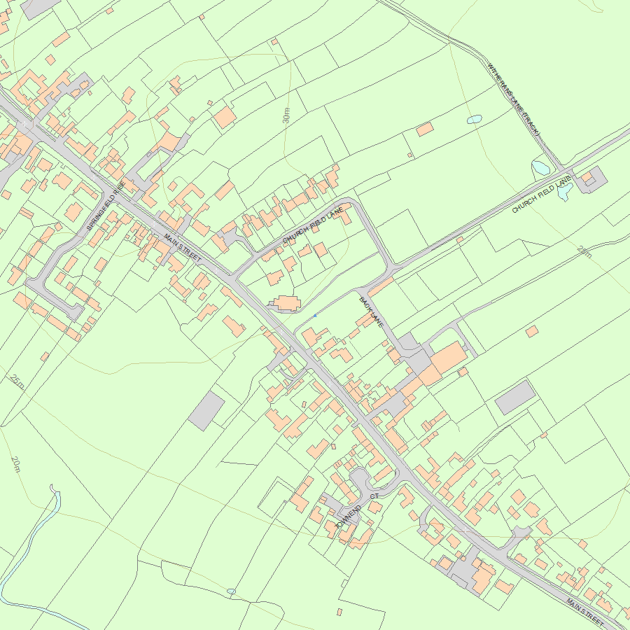
National Grid Reference: SE 44936 61769
The below map is for quick reference purposes only and may not be to scale. For a copy of the full scale map, please see the attached PDF - 1150286.pdf - Please be aware that it may take a few minutes for the download to complete.
© Crown Copyright and database right 2018. All rights reserved. Ordnance Survey Licence number 100024900.
© British Crown and SeaZone Solutions Limited 2018. All rights reserved. Licence number 102006.006.
This copy shows the entry on 02-Jul-2025 at 06:07:43.


