List Entry Summary
This building is listed under the Planning (Listed Buildings and Conservation Areas) Act 1990 as amended for its special architectural or historic interest.
Name: CHORISTER SCHOOL
List Entry Number: 1159555
Location
CHORISTER SCHOOL, 9, THE COLLEGE
The building may lie within the boundary of more than one authority.
County:
District: County Durham
District Type: Unitary Authority
Parish: City of Durham
National Park: Not applicable to this List entry.
Grade: I
Date first listed: 06-May-1952
Date of most recent amendment: 10-Mar-1988
Legacy System Information
The contents of this record have been generated from a legacy data system.
Legacy System: LBS
UID: 110134
Asset Groupings
This List entry does not comprise part of an Asset Grouping. Asset Groupings are not part of the official record but are added later for information.
List Entry Description
Summary of Building
Legacy Record - This information may be included in the List Entry Details.
Reasons for Designation
Legacy Record - This information may be included in the List Entry Details.
History
Legacy Record - This information may be included in the List Entry Details.
Details
DURHAM AND FRAMWELLGATE THE COLLEGE
NZ 2741 NW (South side)
16/86 No. 9 (Chorister School)
6/5/52 (formerly listed as
St. Mary's College)
GV I
Prebendal house, now school. Medieval with C17 and C18 alterations. Sandstone
rubble with ashlar plinth and dressings, rendered in Parker's Roman cement;
roof of graduated Lakeland slate. Gothic revival style. L-plan.
Main house: 3 storeys, 5 windows and end projecting towers. Central Tudor-arched
open porch has roll-moulded parapet with raised centre panel containing arms of
Bishop Lord Crewe. Panelled double door and Gothic overlight. Ground-floor
Tudor-arched and upper square-headed 2-light windows have Gothic tracery and
glazing bars in raised, chamfered surrounds under dripmoulds. Lancets in towers
also have raised stone surrounds; slits at top of towers. Parapets, battlemented
between towers. Hipped roof has end chimneys. At rear an arcade of 3 large round
arches, with rounded open triangular lights in spandrels, on round columns, and
cusped light at west end, supporting a terrace. Projecting right wing 2 storeys,
4 bays in similar style to main front; then a renewed stone bay under brick gable
has a 2-storey, one-bay gabled projection with buttresses, a blocked elliptical
brick arch, and large crow-steps with chamfered coping.
Interior: rear stone-vaulted basement has chamfered round arches. C17 stair has
closed string, richly-carved newels and brackets, vase-and-twist balusters
supporting panelled handrail with high grip. Entrance hall has bolection-moulded
plaster panelling; stucco cornices in hall and some rooms and many 2-panelled
doors. Part of City wall probably incorporated at right.
Listing NGR: NZ2731142149
Selected Sources
Legacy Record - This information may be included in the List Entry Details
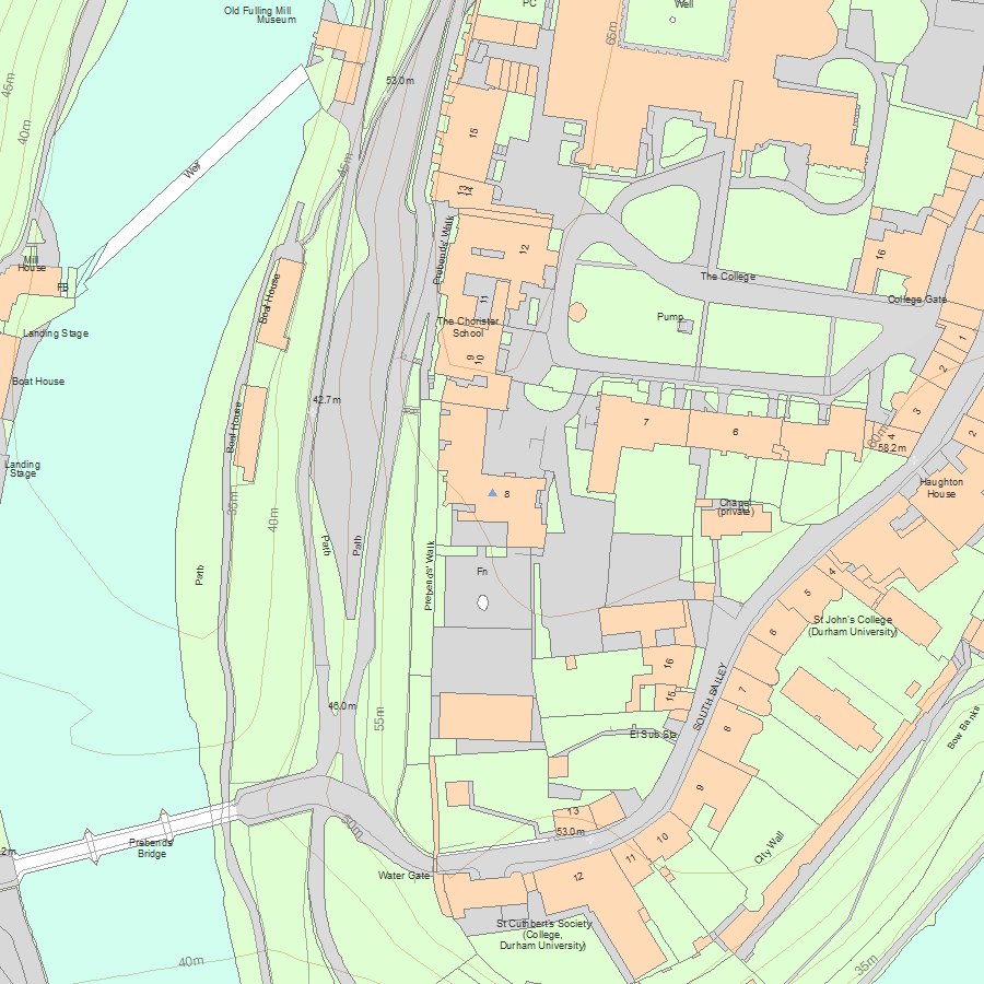
Map
National Grid Reference: NZ 27265 41963
The below map is for quick reference purposes only and may not be to scale. For a copy of the full scale map, please see the attached PDF - 1159555.pdf - Please be aware that it may take a few minutes for the download to complete.
© Crown Copyright and database right 2018. All rights reserved. Ordnance Survey Licence number 100024900.
© British Crown and SeaZone Solutions Limited 2018. All rights reserved. Licence number 102006.006.
This copy shows the entry on 19-Jul-2025 at 06:10:26.


