List Entry Summary
This building is listed under the Planning (Listed Buildings and Conservation Areas) Act 1990 as amended for its special architectural or historic interest.
Name: COUNT HOUSE FARMHOUSE
List Entry Number: 1159744
Location
COUNT HOUSE FARMHOUSE
The building may lie within the boundary of more than one authority.
County:
District: Cornwall
District Type: Unitary Authority
Parish: Hayle
National Park: Not applicable to this List entry.
Grade: II
Date first listed: 14-Jan-1988
Date of most recent amendment: Not applicable to this List entry.
Legacy System Information
The contents of this record have been generated from a legacy data system.
Legacy System: LBS
UID: 70148
Asset Groupings
This List entry does not comprise part of an Asset Grouping. Asset Groupings are not part of the official record but are added later for information.
List Entry Description
Summary of Building
Legacy Record - This information may be included in the List Entry Details.
Reasons for Designation
Legacy Record - This information may be included in the List Entry Details.
History
Legacy Record - This information may be included in the List Entry Details.
Details
HAYLE
SW 53 NE
4/55 Count House Farmhouse
-
GV II
Count (account) house, now farmhouse. Circa early C19. Painted rubble walls with
wooden lintels. Concrete tile roof, half-hipped on the left, gable end on the right.
Tall brick chimney over cross wall towards left and over gable end, right.
Plan: Double depth plan. 1 room wide house left, with entrance hall on the right
and 2 rooms wide house right with entrance hall between the rooms. The right-hand
end seems to be an old extension. Lean-to at left-hand end.
Exterior: 2-storeys. Irregular overall 4 window north front. Left-hand end is
nearly symmetrical 2 window front with central doorway with original 6-panel door and
original 16-pane hornless sashes. Irregular right hand end has C20 porch towards
left, blocked doorway right of porch, old 9-pane fixed light to first floor left,
circa late C19 12-pane horned sash at first floor right and 4-pane horned sash below.
Interor: Not inspected but left-hand end is said to be little altered since the C19.
Listing NGR: SW5777136940
Selected Sources
Legacy Record - This information may be included in the List Entry Details
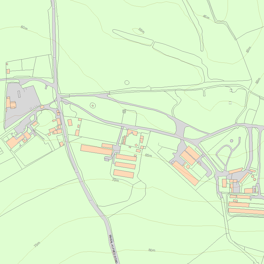
Map
National Grid Reference: SW5777136940
The below map is for quick reference purposes only and may not be to scale. For a copy of the full scale map, please see the attached PDF - 1159744.pdf - Please be aware that it may take a few minutes for the download to complete.
© Crown Copyright and database right 2018. All rights reserved. Ordnance Survey Licence number 100024900.
© British Crown and SeaZone Solutions Limited 2018. All rights reserved. Licence number 102006.006.
This copy shows the entry on 03-May-2024 at 09:39:51.


