List Entry Summary
This building is listed under the Planning (Listed Buildings and Conservation Areas) Act 1990 as amended for its special architectural or historic interest.
Name: BRIDGE OVER IPPOLLITTS BROOK IN PARK 160 METRES TO EAST NORTH EAST OF ST IBBS LODGE
List Entry Number: 1175140
Location
BRIDGE OVER IPPOLLITTS BROOK IN PARK 160 METRES TO EAST NORTH EAST OF ST IBBS LODGE, LONDON ROAD
The building may lie within the boundary of more than one authority.
County: Hertfordshire
District: North Hertfordshire
District Type: District Authority
Parish: St. Ippolyts
National Park: Not applicable to this List entry.
Grade: II
Date first listed: 28-May-1987
Date of most recent amendment: Not applicable to this List entry.
Legacy System Information
The contents of this record have been generated from a legacy data system.
Legacy System: LBS
UID: 162654
Asset Groupings
This List entry does not comprise part of an Asset Grouping. Asset Groupings are not part of the official record but are added later for information.
List Entry Description
Summary of Building
Legacy Record - This information may be included in the List Entry Details.
Reasons for Designation
Legacy Record - This information may be included in the List Entry Details.
History
Legacy Record - This information may be included in the List Entry Details.
Details
ST IPPOLLITTS LONDON ROAD
TL 12 NE (East side)
St. Ibbs
3/42 Bridge over Ippollitts
- Brook in park 160M to ENE
of St. Ibbs Lodge
GV II
Bridge. Circa 1801 for Rev William Lax. Stuccoed brick but N side of red
brick where invisible from park. A picturesque 3-arched bridge over
brook at N end of the parkland between St. Ibbs, the Rev Lax's house,
and the church across the valley. Buttress/cutwaters flank central arch,
swept up parapet walls from circular piers of outswept ends. Humped
trackway over central arch, side arches for effect only. N side of
bridge acts as a weir to maintain the level of the lake. (Inf
Mrs. Rance).
Listing NGR: TL1957526906
Selected Sources
Legacy Record - This information may be included in the List Entry Details
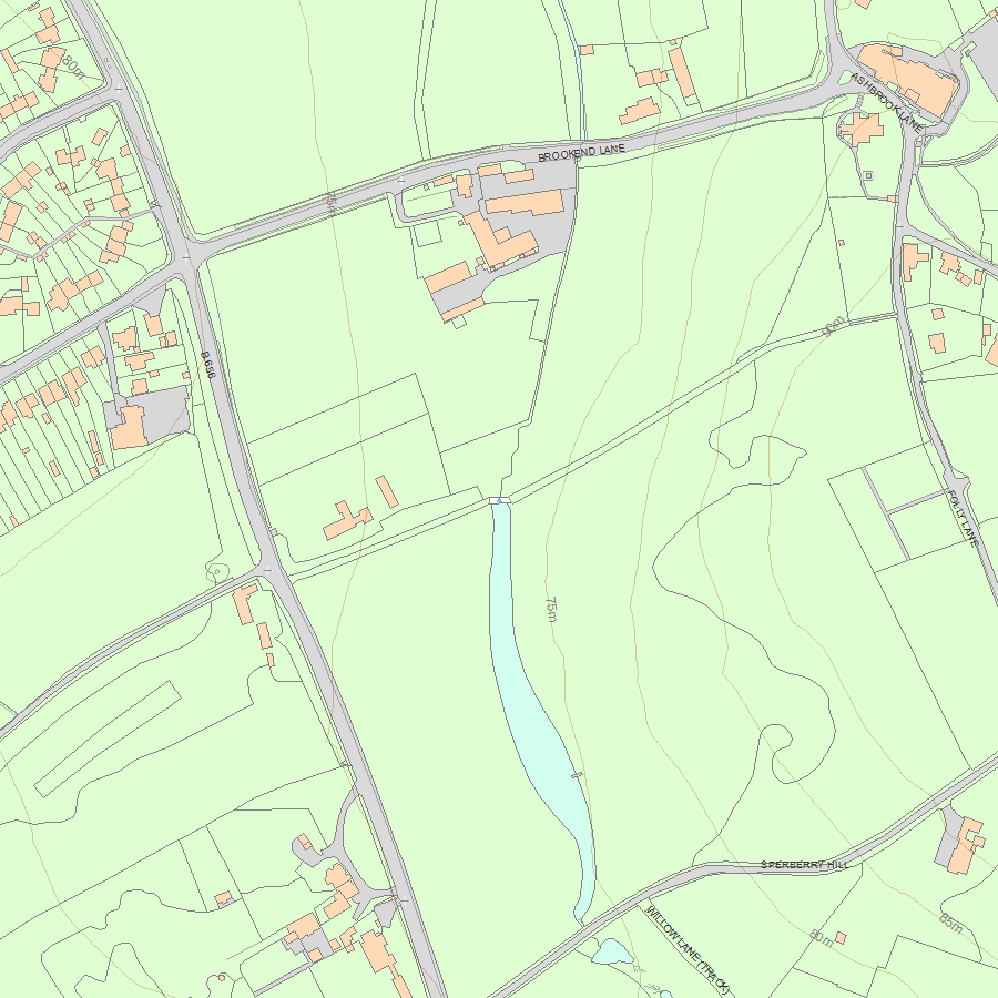
Map
National Grid Reference: TL 19575 26906
The below map is for quick reference purposes only and may not be to scale. For a copy of the full scale map, please see the attached PDF - 1175140.pdf - Please be aware that it may take a few minutes for the download to complete.
© Crown Copyright and database right 2018. All rights reserved. Ordnance Survey Licence number 100024900.
© British Crown and SeaZone Solutions Limited 2018. All rights reserved. Licence number 102006.006.
This copy shows the entry on 10-May-2024 at 04:53:23.


