List Entry Summary
This building is listed under the Planning (Listed Buildings and Conservation Areas) Act 1990 as amended for its special architectural or historic interest.
Name: THE OLD RECTORY
List Entry Number: 1192926
Location
THE OLD RECTORY, ST JULIANS LANE, KINGSTON BY SEA, SHOREHAM-BY-SEA
The building may lie within the boundary of more than one authority.
County: West Sussex
District: Adur
District Type: District Authority
Parish: Non Civil Parish
National Park: Not applicable to this List entry.
Grade: II
Date first listed: 25-Aug-1954
Date of most recent amendment: 27-Jul-1984
Legacy System Information
The contents of this record have been generated from a legacy data system.
Legacy System: LBS
UID: 297308
Asset Groupings
This List entry does not comprise part of an Asset Grouping. Asset Groupings are not part of the official record but are added later for information.
List Entry Description
Summary of Building
Legacy Record - This information may be included in the List Entry Details.
Reasons for Designation
Legacy Record - This information may be included in the List Entry Details.
History
Legacy Record - This information may be included in the List Entry Details.
Details
This list entry was subject to a Minor Amendment on 08/01/2013
TQ 20 NW
3/61
25.8.54
SHOREHAM-BY-SEA
ST JULIANS LANE
KINGSTON-BY-SEA
(North side)
The Old Rectory
(Formerly listed as No. 10 (Kingston Rectory))
GV II
House. Early-mid C18 with C19 additions. Flint with red brick quoins and dressings.
Roof of Horsham slabs with plain tiles towards crest, hipped to left with gable of
wing to left at rear appearing in front of ridge. End stack to right, ridge stack to
left of centre and ridge stack on rear wing. Two storeys; irregular fenestration of
4 windows on first floor and 5 windows on ground floor. Large C19 cross-window
casements, except 6-light transom and mullion window on ground floor to extreme
right. All ground-floor windows under segment heads. Panelled door to right of
centre with flat hood on brackets over. it is likely that the 3 right-hand bays were
the original house which was later extended to the left.
Listing NGR: TQ2361505233
Selected Sources
Legacy Record - This information may be included in the List Entry Details
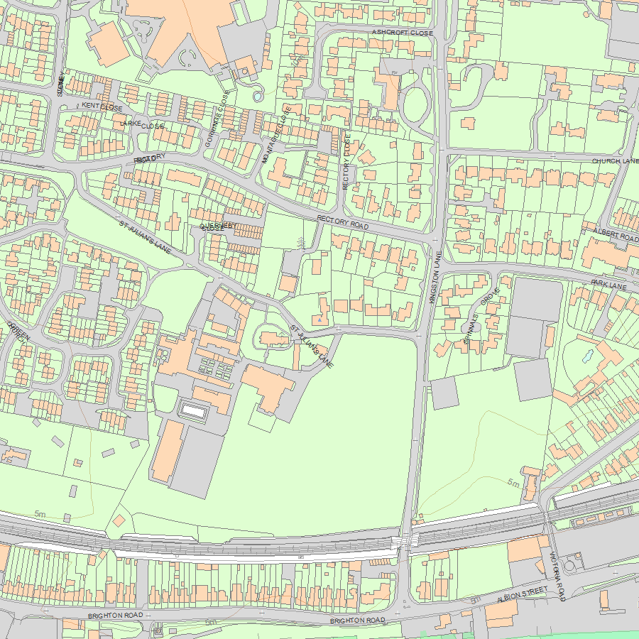
Map
National Grid Reference: TQ 23615 05233
The below map is for quick reference purposes only and may not be to scale. For a copy of the full scale map, please see the attached PDF - 1192926.pdf - Please be aware that it may take a few minutes for the download to complete.
© Crown Copyright and database right 2018. All rights reserved. Ordnance Survey Licence number 100024900.
© British Crown and SeaZone Solutions Limited 2018. All rights reserved. Licence number 102006.006.
This copy shows the entry on 04-May-2024 at 11:29:56.


