List Entry Summary
This building is listed under the Planning (Listed Buildings and Conservation Areas) Act 1990 as amended for its special architectural or historic interest.
Name: THE WEST BRIDGE
List Entry Number: 1196031
Location
THE WEST BRIDGE, RIVERSIDE
THE WEST BRIDGE, WEST BRIDGE ROAD
The building may lie within the boundary of more than one authority.
County:
District: Cornwall
District Type: Unitary Authority
Parish: Launceston
National Park: Not applicable to this List entry.
Grade: I
Date first listed: 27-Feb-1950
Date of most recent amendment: Not applicable to this List entry.
Legacy System Information
The contents of this record have been generated from a legacy data system.
Legacy System: LBS
UID: 370137
Asset Groupings
This List entry does not comprise part of an Asset Grouping. Asset Groupings are not part of the official record but are added later for information.
List Entry Description
Summary of Building
Legacy Record - This information may be included in the List Entry Details.
Reasons for Designation
Legacy Record - This information may be included in the List Entry Details.
History
Legacy Record - This information may be included in the List Entry Details.
Details
LAUNCESTON
SX3285 WEST BRIDGE ROAD, St Thomas
660-1/3/238 (East side)
27/02/50 The West Bridge
GV I
Formerly known as: Footbridge RIVERSIDE.
Includes: The West Bridge RIVERSIDE.
Also known as: St Thomas Bridge.
Packhorse bridge over river. Late medieval. Slatestone rubble
with large slate dressings and wrought-iron railings. 5-span
bridge has 2 cut-waters with 4-centred arches to upstream
side, 1 to downstream side; late C19 railings and central
cast-iron lamp. Only the arch heads are now visible of the
bridge, the piers flooded by the river which has silted up.
Listing NGR: SX3278885093
Selected Sources
Legacy Record - This information may be included in the List Entry Details
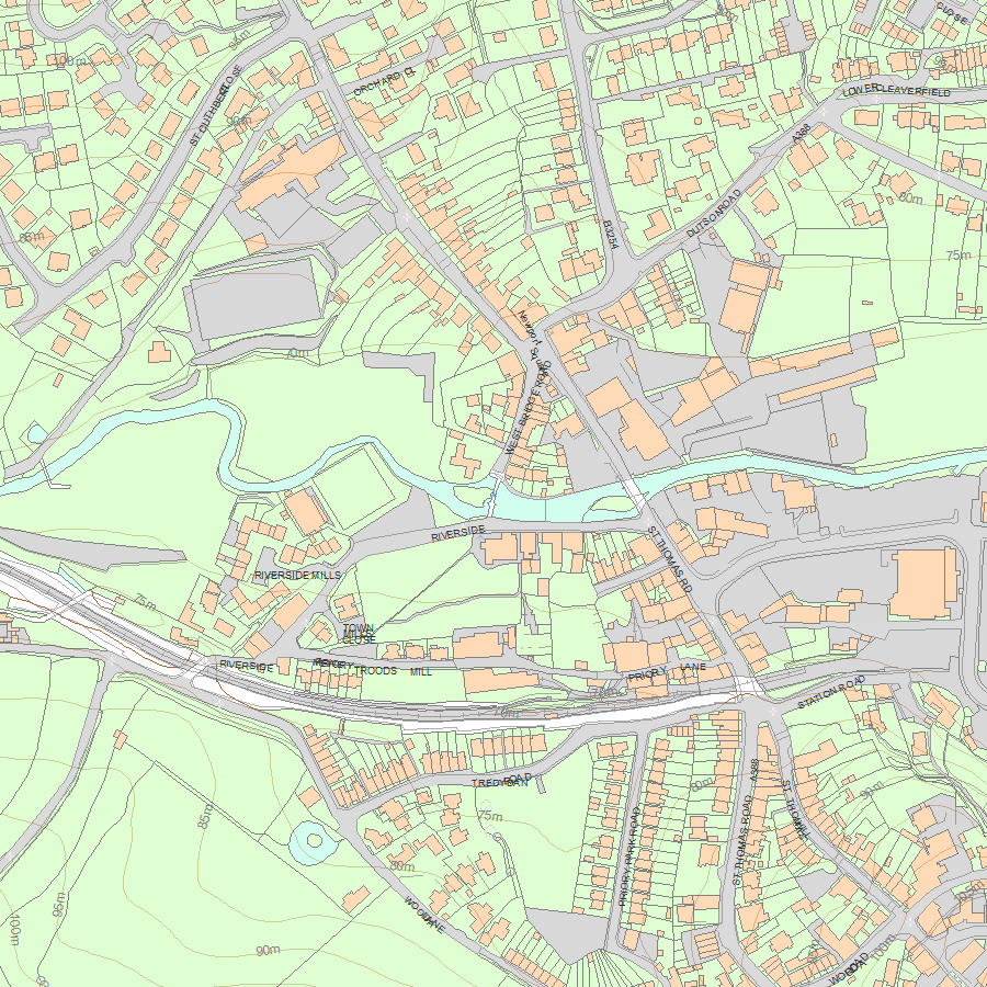
Map
National Grid Reference: SX 32789 85095
The below map is for quick reference purposes only and may not be to scale. For a copy of the full scale map, please see the attached PDF - 1196031.pdf - Please be aware that it may take a few minutes for the download to complete.
© Crown Copyright and database right 2018. All rights reserved. Ordnance Survey Licence number 100024900.
© British Crown and SeaZone Solutions Limited 2018. All rights reserved. Licence number 102006.006.
This copy shows the entry on 13-Jul-2025 at 08:13:07.


