List Entry Summary
This building is listed under the Planning (Listed Buildings and Conservation Areas) Act 1990 as amended for its special architectural or historic interest.
Name: RAILWAY VIADUCT
RAILWAY VIADUCT INCLUDING REDUNDANT PIERS, OVER RIVER KENWYN
List Entry Number: 1201435
Location
RAILWAY VIADUCT INCLUDING REDUNDANT PIERS, OVER RIVER KENWYN
RAILWAY VIADUCT, ST GEORGE'S ROAD
The building may lie within the boundary of more than one authority.
County:
District: Cornwall
District Type: Unitary Authority
Parish: Truro
National Park: Not applicable to this List entry.
Grade: II
Date first listed: 30-Jul-1993
Date of most recent amendment: Not applicable to this List entry.
Legacy System Information
The contents of this record have been generated from a legacy data system.
Legacy System: LBS
UID: 377320
Asset Groupings
This List entry does not comprise part of an Asset Grouping. Asset Groupings are not part of the official record but are added later for information.
List Entry Description
Summary of Building
Legacy Record - This information may be included in the List Entry Details.
Reasons for Designation
Legacy Record - This information may be included in the List Entry Details.
History
Legacy Record - This information may be included in the List Entry Details.
Details
TRURO
SW84NW TRURO (WEST)
880-1/1/321 Railway viaduct, including redundant
piers, over River Kenwyn
GV II
Includes: Railway viaduct ST GEORGE'S ROAD.
Railway viaduct, including redundant piers of original
viaduct. 1858. Present viaduct 1904. Redundant piers of 1858
designed by Brunel. Dressed granite Brunel piers otherwise of
rock-faced granite with brick arches and rendered parapet
fascia. 11 spans. 5 surviving Brunel piers.
Rectangular-on-plan piers. Round arches carried on tapered
piers with corbels for timber centring. Refuges every 3 bays,
over the piers. Brunel piers are 60 feet apart and were
originally spanned by fan-shaped timber constructions.
Listing NGR: SW8201645025
Selected Sources
Legacy Record - This information may be included in the List Entry Details
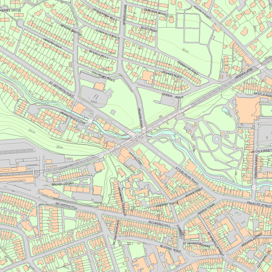
Map
National Grid Reference: SW 82016 45025
The below map is for quick reference purposes only and may not be to scale. For a copy of the full scale map, please see the attached PDF - 1201435.pdf - Please be aware that it may take a few minutes for the download to complete.
© Crown Copyright and database right 2018. All rights reserved. Ordnance Survey Licence number 100024900.
© British Crown and SeaZone Solutions Limited 2018. All rights reserved. Licence number 102006.006.
This copy shows the entry on 12-Jul-2025 at 08:15:06.


