List Entry Summary
This building is listed under the Planning (Listed Buildings and Conservation Areas) Act 1990 as amended for its special architectural or historic interest.
Name: FOSTON HALL AND ATTACHED ARCHWAY WITH WROUGHT IRON GATES
List Entry Number: 1205231
Location
FOSTON HALL AND ATTACHED ARCHWAY WITH WROUGHT IRON GATES, UTTOXETER ROAD
The building may lie within the boundary of more than one authority.
County: Derbyshire
District: South Derbyshire
District Type: District Authority
Parish: Foston and Scropton
National Park: Not applicable to this List entry.
Grade: II
Date first listed: 02-Sep-1952
Date of most recent amendment: Not applicable to this List entry.
Legacy System Information
The contents of this record have been generated from a legacy data system.
Legacy System: LBS
UID: 82677
Asset Groupings
This List entry does not comprise part of an Asset Grouping. Asset Groupings are not part of the official record but are added later for information.
List Entry Description
Summary of Building
Legacy Record - This information may be included in the List Entry Details.
Reasons for Designation
Legacy Record - This information may be included in the List Entry Details.
History
Legacy Record - This information may be included in the List Entry Details.
Details
SK 13 SE PARISH OF FOSTON & SCROPTON UTTOXETER ROAD
2/23 (South Side)
2.9.52 Foston Hall &
attached
archway
with wrought
iron gates
GV II
Country house, now HM Detention Centre. 1863 by T C Hine in
Jacobethan Style. Red brick with blue brick diaper work. Stone
dressings. Plain tile roofs with stone coped gables and
parapets and moulded kneelers. Prominent brick stacks with
octagonal shafts in groups of two, three and four. Flush stone
quoins and moulded stone bands. Two storeys with a three storey
tower. Asymmetrical plan. Asymmetrical west elevation of eight
bays. Off-centre tower with French Second Empire Style roof
with ironwork cresting and weather vane. Flanked by triple
stacks. Round-arched entrance with C19 panelled doors, flanked
by tall narrow windows, all enclosed within a tripartite
arrangement of Tuscan pilasters. Tripartite window above, and
above again. Venetian type window above in a shaped gable. To
the right, a single window and a small canted bay. Two similar
plain sashes above. To the right again, an external stack
rising to four shafts. To the left of the tower a narrow slit
window and a larger canted bay. Two sashes above in gabled half
dormers. Projecting gabled bay to left has large tripartite
window to ground floor and Venetian type window above. Broad
two bays to left with curved parapet, rising to a shaped gable.
Ground floor has a sash, a round-arched porch entrance and two
C20 windows. Two plain sashes above. All the windows have
moulded stone surrounds. Symmetrical six bay south elevation.
The centre part has four tall sashes to ground floor and four
smaller sashes above. Projecting end bays have shaped gables
and two storey canted bay windows. Attached to the north west
corner is a mid C18 archway (from the previous house).
Rusticated ashlar front, brick behind. Fluted capitals, and
pediment. C18 wrought iron gates, probably not originally for
this arch. The interior of the house has a Minton tiled
entrance hall and a small marble bolection moulded fireplace
with Delft Style tiles. Impressive staircase hall with stone
staircase around three sides, arcaded beneath with round arches
and naturalistic carving. Stone balustrade with a turned
polished crinoidal limestone handrail. Main rooms have moulded
cornices. Study has dentil cornice and early C18 Style chimney
piece. Marble surround and panelled wood overmantle with broken
pediment enclosing an urn and foliage. Grinling Gibbons Style
ceiling and carved wooden chimney piece. The room at the south
east corner has late C18 Style plaster panelling and white
marble chimney piece.
Listing NGR: SK1858031655
Selected Sources
Legacy Record - This information may be included in the List Entry Details
Map
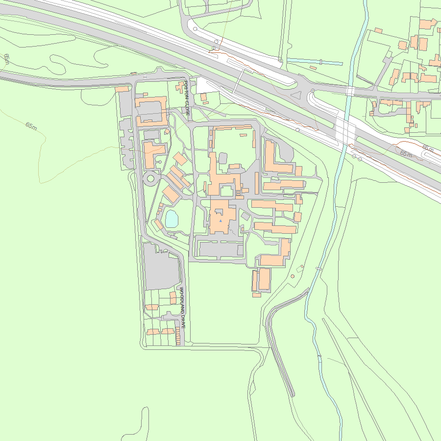
National Grid Reference: SK 18580 31655
The below map is for quick reference purposes only and may not be to scale. For a copy of the full scale map, please see the attached PDF - 1205231.pdf - Please be aware that it may take a few minutes for the download to complete.
© Crown Copyright and database right 2018. All rights reserved. Ordnance Survey Licence number 100024900.
© British Crown and SeaZone Solutions Limited 2018. All rights reserved. Licence number 102006.006.
This copy shows the entry on 03-May-2024 at 12:44:09.


